
November 30, 2020

Jerry Jensen
The Value of Machine Learning in Reservoir Characterization
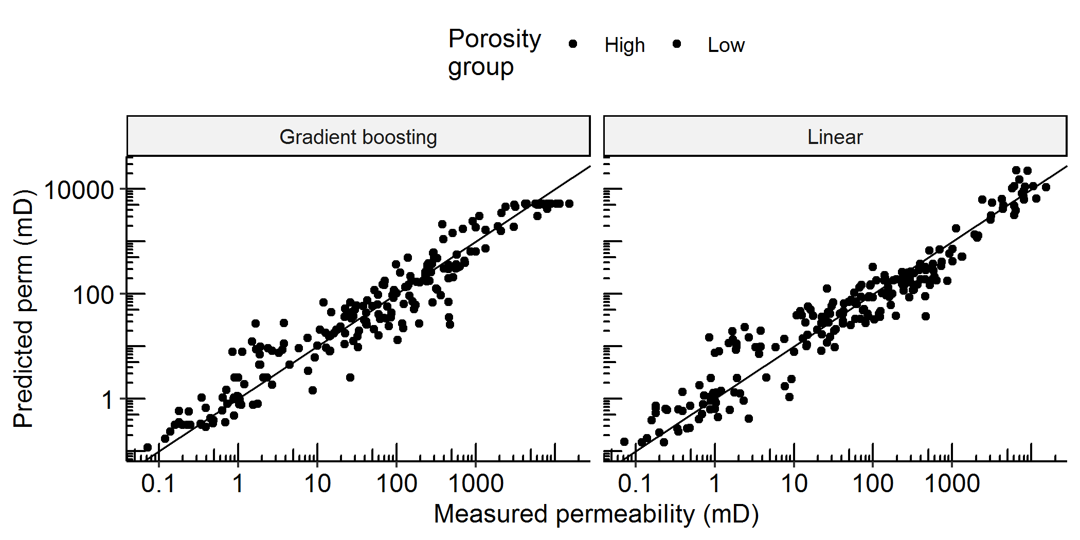
Comparison of measured versus predicted values for machine learning (left) and traditional linear regression (right) methods. Though these plots may look similar, the ML method gives smaller errors than the traditional method. Note the large variation in permeability, from 0.05 to 20,000 mD.
Among the many important reservoir characteristics, the ease of fluid flow within the reservoir is essential to oil and gas recovery. That characteristic of the rock, called permeability, is tricky to predict for two main reasons. First, it is highly variable; permeability can change by factors of 10,000 or more from one location to the next in a reservoir. Second, permeability is expensive to measure. Therefore, people who estimate permeability (petrophysicists) want to take a few measurements and look for relationships with other, more easily measured, rock properties.
One way to identify these relationships is with machine learning (ML). We can use ML with reservoir data to produce permeability estimates, which could save much time and expense over more traditional methods. We found, however, that ML can produce some very poor estimates if we are not careful. Using ML with reservoir data requires careful data preparation and works best under the guidance of engineers with petrophysical and geological knowledge. Carefully applied ML can provide better estimates than traditional petrophysical models.
Reference
Male, F., Jensen, J. L., and Lake, L. W., 2020, Comparison of permeability predictions on cemented sandstones with physics-based and machine learning approaches: Journal of Natural Gas Science and Engineering, v. 77, 103244, doi:10.1016/j.jngse.2020.103244.

Matthew Shirley
TexNet Monitoring
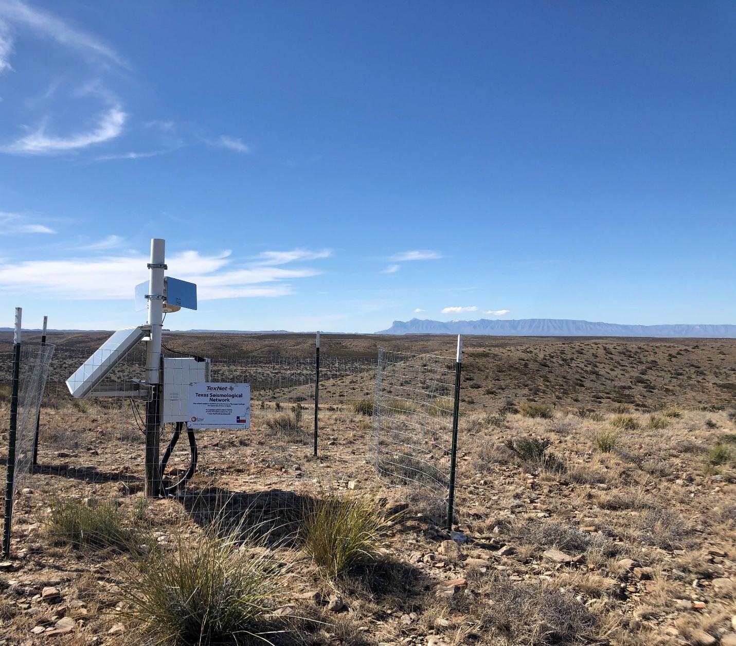
The Bureau of Economic Geology’s Texas Seismological Network, TexNet, continues to provide earthquake monitoring through the COVID-19 crisis throughout the state of Texas.
From the Piney Woods of East Texas to the desert and mountains of deep West Texas, and from the Rio Grande Valley of South Texas to the gentle plains of the Panhandle, TexNet is dedicated to keeping our fellow Texans informed about the earthquakes happening daily in our state. TexNet installs and maintains monitoring-stations, and regularly updates earthquake data processing procedures for Texans’ protection. TexNet is always expanding and adapting to meet the ever-changing demands of monitoring earthquakes around the vastness of Texas.

