
State Geological Survey of Texas

Lorena Moscardelli
Director
Bureau of Economic Geology
State Geological Survey
Established in 1909, the Bureau of Economic Geology of The University of Texas at Austin is a research entity of The University and is also the State Geological Survey of Texas. As such, its mission includes informing state policy-makers on issues arising from the geology and physical environment of Texas. Bureau objectives in this role also include producing unbiased, peer-reviewed energy, environmental and energy economics research which benefits the people of Texas and a wide variety of stakeholders around the world, and serving as a major geoscience resource for educators and the public at large.

The Texas Imperative
The Texas Imperative is a set of focused multi-disciplinary studies of vital state resources including water, critical minerals, naturally occurring helium and hydrogen, and geothermal energy. These resources are being thoroughly researched and assessed statewide. The goal of The Texas Imperative is to inform state and local leaders, state agencies, industry, and the public about the location, quantity, and potential economic and environmental impact of these resources.
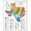
Geologic Mapping
The Bureau complements a strong tradition of field-based geologic mapping with cutting edge technologies to create surface and shallow subsurface maps and spatially referenced digital data sets to meet the applied and basic data needs of geoscience professionals, governmental agencies, and citizens.
The Surface Casing Estimator Site
The Near Surface Observatory
The Bureau Store
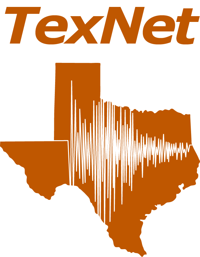
TexNet Seismic Monitoring Program
The TexNet Seismic Monitoring Program was established to locate and determine the origins of earthquakes in Texas, and, where possibly caused by human activity, with helping to prevent earthquakes from occurring in the future. As part of the program, the TexNet research team has developed the TexNet Earthquake Catalog, a dynamic mapping web page that provides information on the location of monitoring stations and recorded earthquakes across the state.

State of Texas Advanced Resource Recovery (STARR)
The STARR Mission is to conduct geologic research that results in increasing the production and profitability of oil and gas in the state of Texas.

Texas High School Coastal Monitoring Program
Engages students and teachers who live along the Texas coast in the study of their natural environment.
Geoheritage and the Texas GeoSign Project
The Texas GeoSign Project was launched by the Bureau of Economic Geology in 2016 to establish a network of geologic information signs to engage and educate people when they visit parks, highway rest areas, and other public locations. This program was expanded in 2020 to identify Texas Geoheritage sites and encourage good stewardship of these natural resources.

