Near Surface Observatory
About the Near Surface Observatory (NSO) | Google Scholar
The NSO is an aggregation of several research groups and individuals who conduct studies focused on the surface and near-surface environment. Augmenting the efforts of the researchers, interns, and students is a suite of airborne, surface, and borehole instruments that provides information on the physical properties of the near surface and allows NSO researchers to conduct geologic mapping in diverse environments, respond to geologic hazards, analyze coastal erosion and associated environmental change, characterize landscape evolution, and identify industrial and critical mineral resources, among many other topics in the near-surface realm.
Mission
Bureau researchers apply modern geophysical, geologic, and remote-sensing methods to address problems in the surface and near-surface environment. Surface, airborne, and borehole tools scale from regional to local studies involving issues such as coastal geology, surface water and groundwater salinization, neotectonics and surface faulting, subsidence, transportation infrastructure, Quaternary geology, sinkhole characterization and assessment, and many other related topics.
News
The NSO has acquired a TEM2Go, a new time-domain EM instrument capable of acquiring profiles of the electrical conductivity of the ground from the surface to depths of 50 meters or more while walking across the landscape.
Research Areas
- Near-surface geophysics applied to geologic, hydrologic, and engineering issues
- Airborne Lidar and Hyperspectral Imaging
- Drone-based imagery and topography
- Coastal studies
- Geologic mapping (regional and detailed)
- Geohazards assessment and monitoring (sinkholes, surface faulting, and subsidence)
- Economic geology, industrial minerals, and critical minerals
- Soil and water salinization
- Groundwater resource assessments
Key Insights
Rather than apply a single favorite approach or all available approaches to a near-surface geological, hydrologic, or engineering issue, we seek to fully understand the issue before selecting a tool or method, identify relevant physical properties that can serve as a reliable proxy for the problem or issue, select the appropriate instruments and platforms (airborne, surface, or borehole), and then design a measurement campaign to address the lateral and vertical scale of the problem. The final step is to analyze and interpret the proxy measurements in a manner that gives insight into the geologic, hydrologic, or engineering issue.
Research Assets
- Airborne lidar, digital photogrammetry, and radar interferometry: airborne- and satellite-based surveys to determine elevation and elevation change over time. Useful for subsidence studies.
- Aerial and water-borne drones: small, unmanned, and remote-controlled craft that carry cameras, sonar, and other compact instruments to rapidly survey small areas and generate high-resolution imagery, structure-from-motion elevation models, and bathymetric surfaces
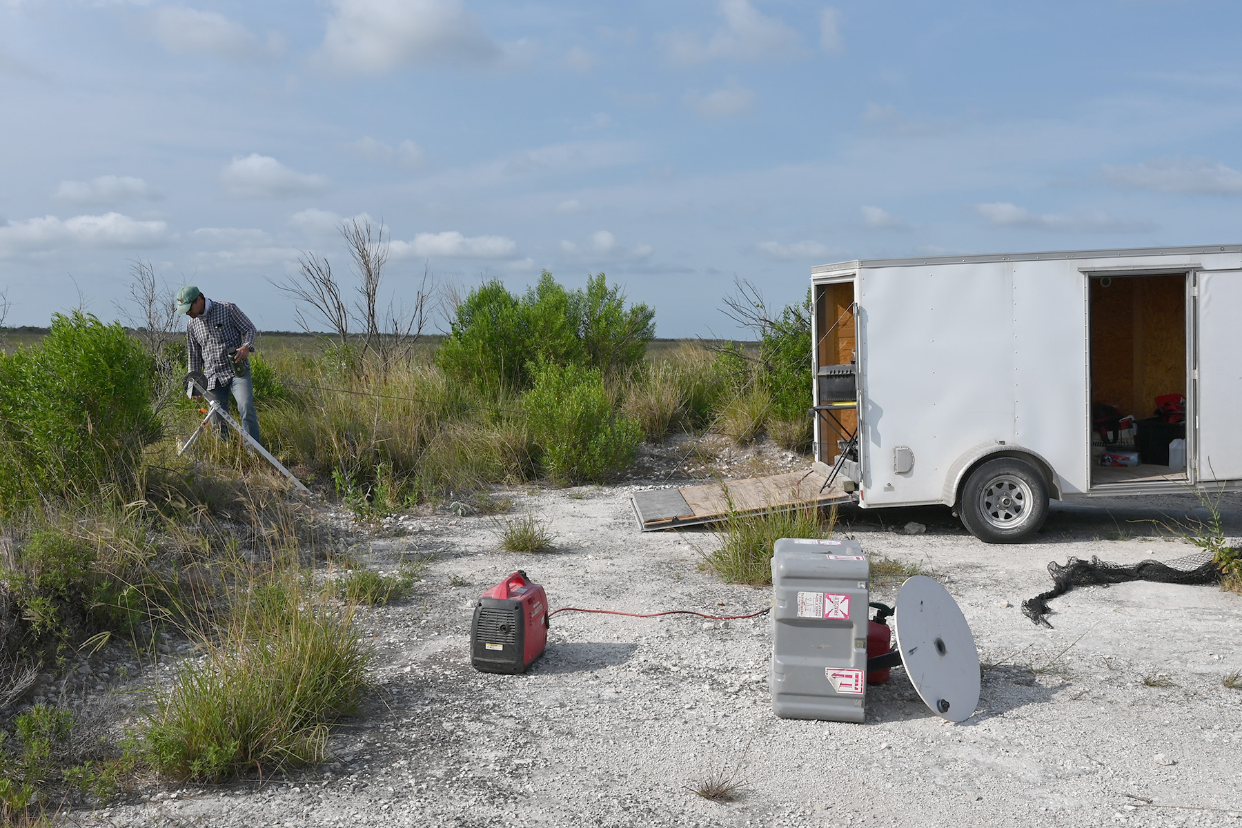
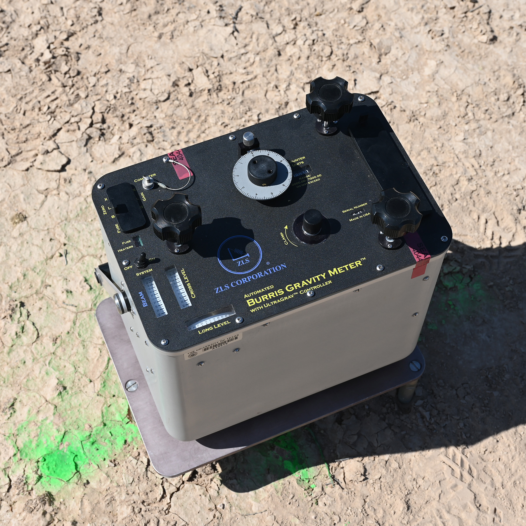
- Electromagnetic induction (frequency and time domain): instruments that measure apparent ground conductivity from the ground surface to depths as great as a few hundred meters. These instruments can be used to produce conductivity profiles along the ground surface as well as vertical conductivity profiles. Knowledge of the lateral and vertical variations in ground conductivity are useful for characterizing surficial deposits and bedrock lithology, water-saturation trends, and pore-fluid salinity, among many other applications.
- Geoprobe: mobile, track-mounted push probe for shallow logging and sampling.
- Slim-hole borehole geophysical logging system: 1024-channel spectral natural gamma and electrical conductivity probes, 400-m cable, motorized winch, WellCAD analysis software. Produces high-resolution gamma and conductivity logs in slim-hole borings and water wells. Useful for determining site-specific lithology, water saturation, and groundwater salinity.
- Shallow seismic reflection and refraction: AnySeis seismic data acquisition system with 50 12-Hz horizontal and vertical geophones and seismic processing software to produce 2D and 3D images of the subsurface. This system explores geologic structure and stratal features at depths of a few to a few hundred meters.
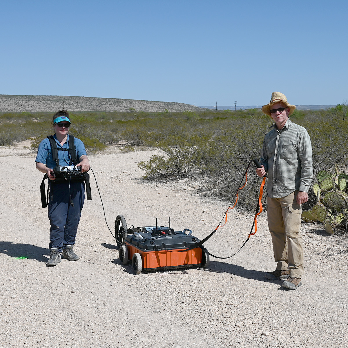
- Ground-penetrating radar: GSSI SIR-4000 system with 200 and 350 MHz antennas. Ultra-shallow (surface to a few meters) investigations of geologic and engineering features.
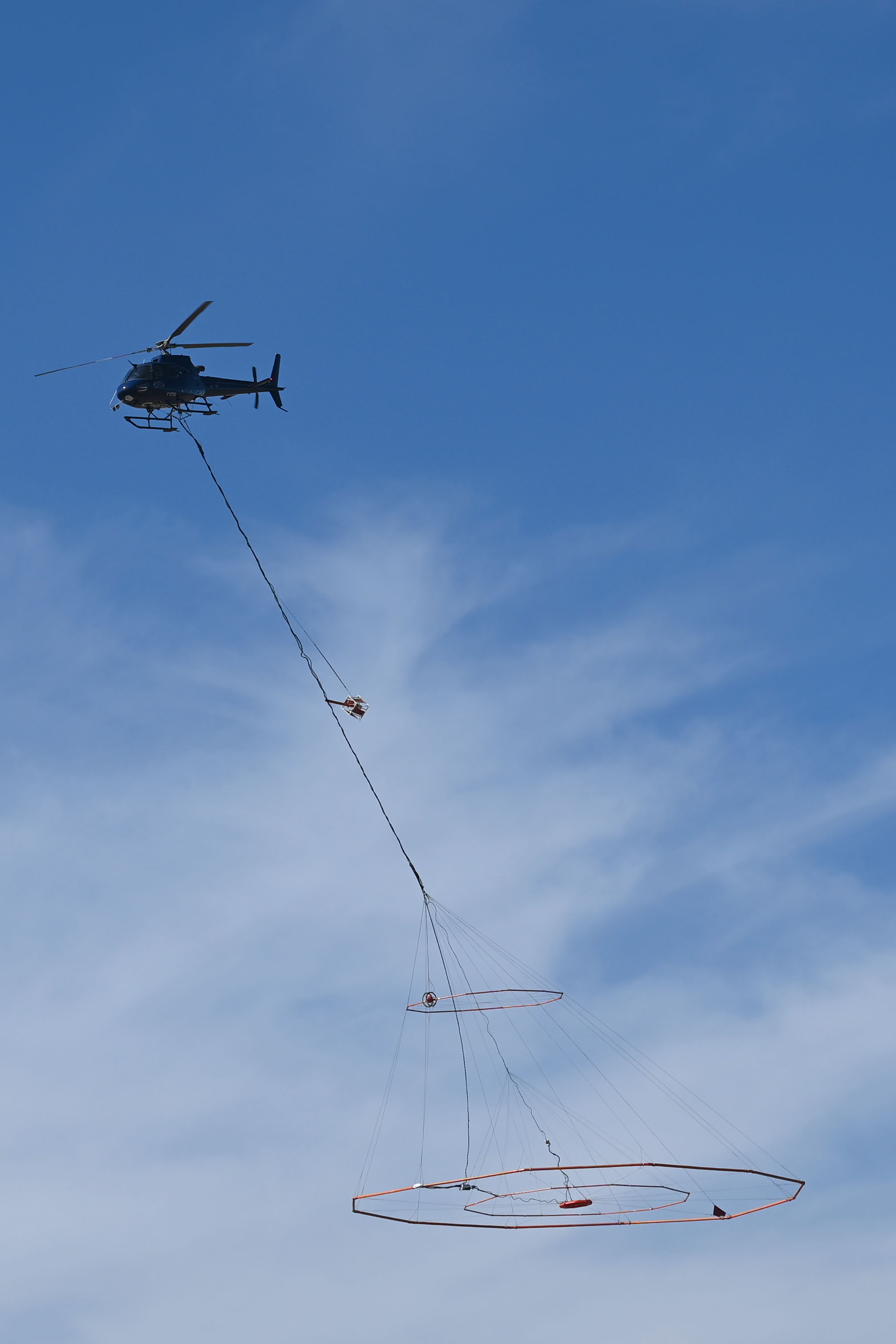
- Airborne geophysics: high-resolution electromagnetic induction and magnetometer surveys from helicopters and fixed-wing aircraft. Produces high-resolution maps, cross sections, and volumes that allow sophisticated interpretation of near-surface lithology, structure, and water content and salinity.
Near Surface Observatory Staff

Near-surface ground, borehole, and airborne geophysics
Email: jeff.paine@beg.utexas.edu
Telephone: 512-471-1260

Airborne topographic and bathymetric lidar
Email: kutalmis.saylam@beg.utexas.edu
Telephone: 512-471-1871