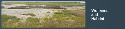
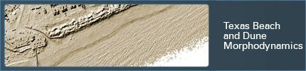
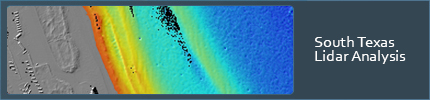
Coastal Studies
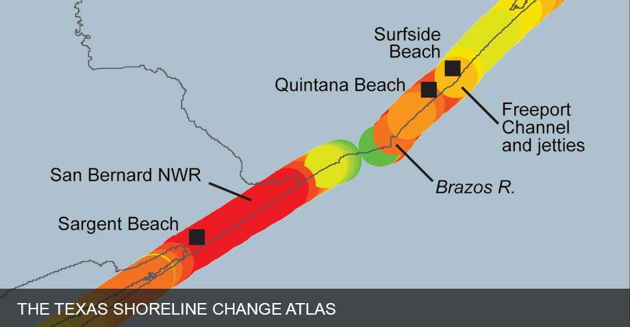
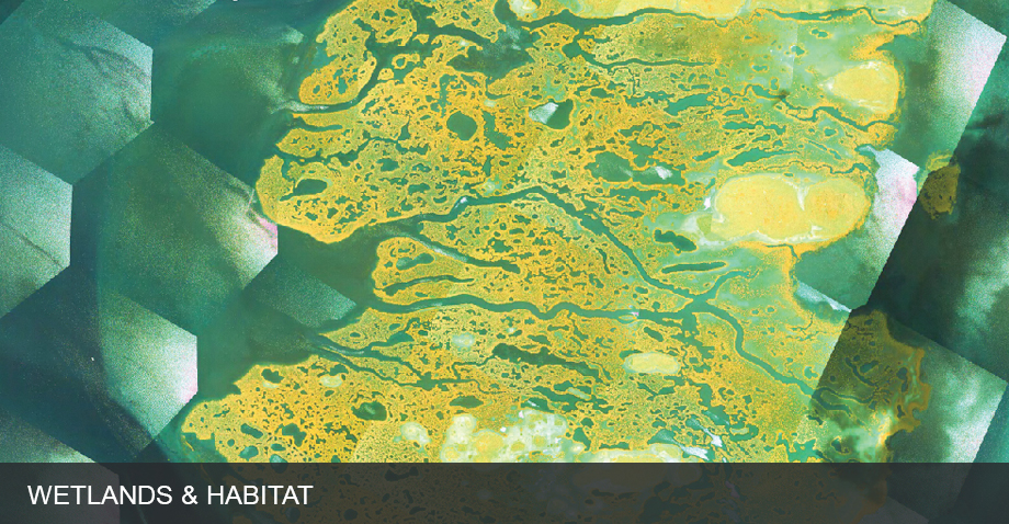
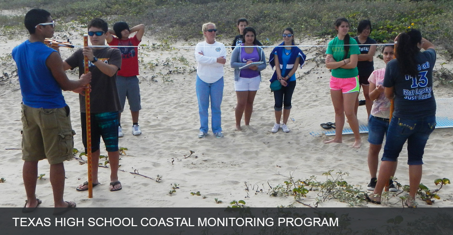
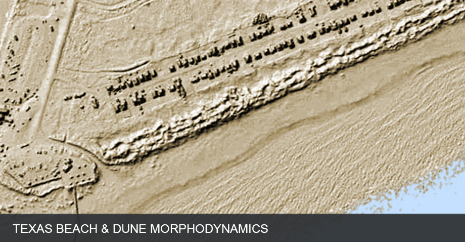
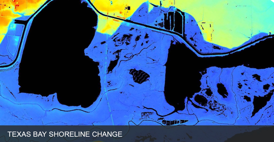
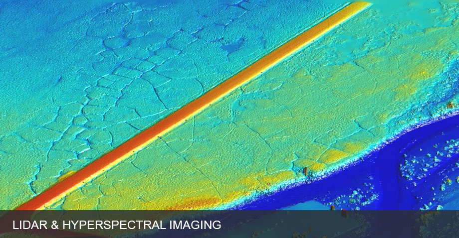
Coastal scientists at the Bureau of Economic Geology conduct research in Texas and around the world. The Bureau gained international recognition in the 1970's by using depositional systems concepts to map depositional environments of the coastal plain sediments of Texas. These maps provided a new tool for comprehensive coastal zone management. Recent studies have included isotopic age dating to determine sedimentation rates in bay marshes, mapping shoreline types for oil spill contingency planning, and conducting regional assessments of offshore sand resources for beach nourishment. Currently, we are conducting research in shoreline change, beach and tidal inlet morphodynamics, and changes in wetlands distribution through time.