Powderhorn Ranch Geoenvironmental Atlas
Jeffrey G. Paine, Edward W. Collins, Tiffany L. Caudle, and Lucie Costard
December 2018
Bureau of Economic Geology
Scott W. Tinker, Director
Jackson School of Geosciences
The University of Texas at Austin
Austin, Texas 78713-8924
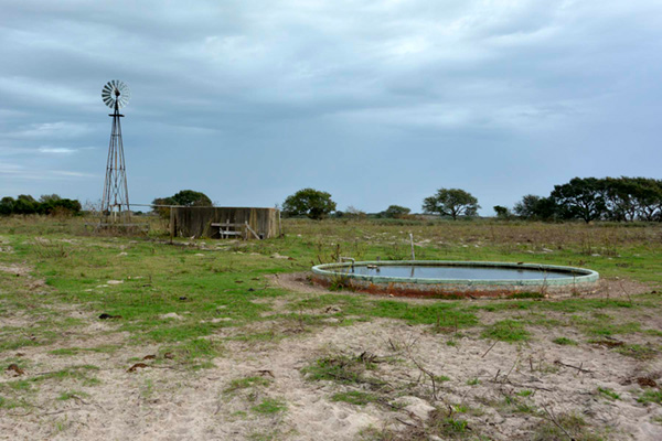
Powderhorn Ranch, located along Matagorda Bay and Powderhorn Lake in Calhoun County, Texas, is a 7,022 hectare (17,351-acre) property that has been purchased for the state of Texas through a partnership among the Texas Parks and Wildlife Foundation, The Nature Conservancy (TNC), Texas Parks and Wildlife Department (TPWD), and The Conservation Fund (figs. M1, M2, and M3). The environmental and conservation significance of Powderhorn Ranch is immense. It is one of the largest remaining tracts of native coastal prairie and is destined to become a state park and wildlife management area. It encompasses diverse coastal environments that include more than 20 kilometers of bay frontage, tallgrass prairies, fresh and saltwater wetlands, and live oak woodlands established on a Pleistocene barrier island complex. According to TNC, the ranch offers year-round habitat for shorebirds, wading birds, and waterfowl and critical fall-out areas for migrating birds. This geoenvironmental atlas serves as a foundation providing planners, managers, conservationists, and visitors information on the geologic, geomorphic, coastal habitat, and coastal hazard (susceptibility to waves, storms, and relative sea-level rise) characteristics of Powderhorn Ranch.
Data compiled for this atlas include high-resolution topography from an airborne lidar survey of the ranch conducted in July 2016, 7.5-minute quadrangle-scale geologic mapping from 2015 through 2018, wetland status and trends mapping based on aerial photographs from 1956 to 2008, historical shoreline movement from the 1930s through 2015, interpretations of shoreline susceptibility to wave action, storm surge, and relative sea-level rise, inundation depths observed during historic hurricanes Carla (1961) and Beulah (1967), and near-surface geophysical measurements that included logs of 19 water wells and 8 time-domain electromagnetic induction soundings on or adjacent to the ranch. The purpose of this atlas is to convey our current knowledge of the surface and near-surface environment at Powderhorn Ranch to the public so that the best and most complete data can be used to influence development and management decisions that will ensure responsible stewardship and future use of the ranch.
Acknowledgments
This project was partly supported by a Texas Coastal Management Program Grant approved by the Texas Land Commissioner pursuant to National Oceanic and Atmospheric Administration Award No. NA16NOS4190174. Work was completed under Contract No. 17-186-000-9823 from the General Land Office of Texas (GLO). Julie McEntire (GLO) served as project manager. Jeffrey G. Paine served as principal investigator. Daniel Walker (Texas Parks and Wildlife Department) and James Brown (Powderhorn Ranch foreman) facilitated access to Powderhorn Ranch for multiple field visits between 2015 and 2018. BEG staff Aaron Averett, John Hupp, John Andrews, and Kutalmis Saylam acquired and processed topographic data from an airborne lidar survey of Powderhorn Ranch in 2016. Scott Rodgers designed and prepared the web pages.

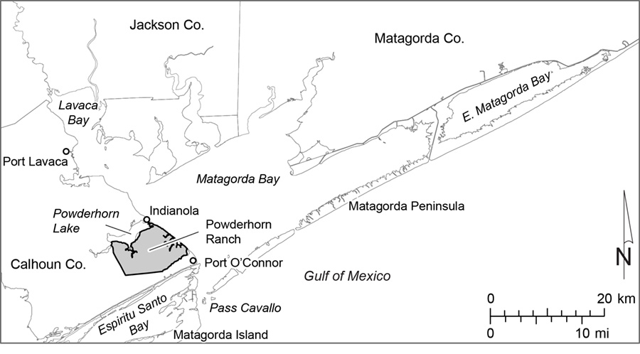
Figure M1. Map of the Matagorda Bay system showing the location of Powderhorn Ranch, a 7,022 ha parcel acquired for the State of Texas in 2014 by a coalition led by the Texas Parks and Wildlife Foundation.
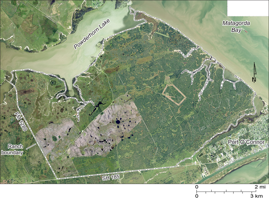
Figure M2. Map of Powderhorn Ranch, Powderhorn Lake, Matagorda Bay, and Port O'Connor, Calhoun County, Texas. Aerial imagery is from the 2016 National Agriculture Imagery Program obtained through the Texas Natural Resources Information System..
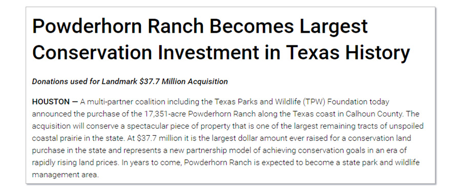
Figure M3. Texas Parks and Wildlife Department (TPWD) announcement of the acquisition of Powderhorn Ranch, August 2014.