Parks Geoenvironmental Atlas
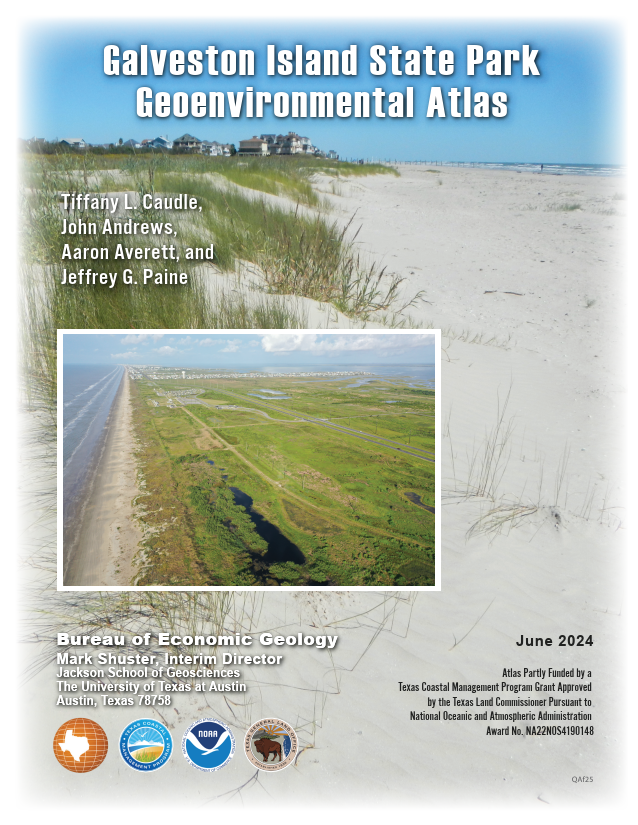
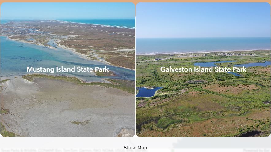
Galveston Island and Mustang Island State Parks Geoenvironmental Atlas
Researchers at the Bureau of Economic Geology at The University of Texas at Austin (Bureau) have created geoenvironmental atlases for Galveston Island and Mustang Island State Parks that highlight the geologic, geomorphic, and wetland features, and coastal hazards unique to the parks. The atlases are comprised of products that help park visitors, staff, and coastal resource managers visualize and define the geologic and geomorphologic characteristics that make the parks unique. The atlas enables visitors of the park to learn more about its natural environment or about hazards that impact the park. Park staff and coastal resource managers can use these products to assess coastal natural hazards like shoreline change and susceptibility to storms and sea-level rise. It can be used to help understand the natural framework of the park and surrounding area and how they have changed through time.
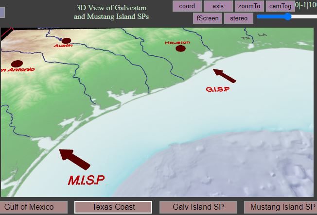
3D Virtual Field Trip
Bureau researchers used a DJI Mavic 2 Pro quadcopter unmanned aerial vehicle (UAV) to collect imagery along the Gulf (including the beach and foredune system) and bay shorelines at Galveston Island and Mustang Island State Parks. A digital terrain model (DEM) and orthomosaics were produced from this UAV survey. The imagery and DEM were used to create a three-dimensional (3D) model and virtual field trip that highlights the habitats found within the park.
Interactive Data Viewer
Bureau researchers have collected and created several datasets that are incorporated into the data viewer for the geoenvironmental atlas. The purpose of the online data viewer is to convey historical and current knowledge of the surface of the parks to the public, park staff, and decision markers so that the best and most complete data can be used to educate visitors about the environments present at the park and to influence management decisions that ensure responsible stewardship and future use.
Guidebooks

Acknowledgments
This project was funded in part by a Texas Coastal Management Program grant approved by the Texas Land Commissioner, providing financial assistance under the Coastal Zone Management Act of 1972, as amended, awarded by the National Oceanic and Atmospheric Administration (NOAA), Office for Coastal Management, pursuant to NOAA Award No. NA22NOS4190148. The award was administered through grant no. 23-020-008-D602 from the General Land Office of Texas to the Bureau of Economic Geology, The University of Texas at Austin. Jessica Chappell (GLO) served as project manager. Tiffany Caudle served as principal investigator. Bureau staff John Andrews and Aaron Averett created the 3D visualization and data viewer tools. The views expressed herein are those of the author(s) and do not necessarily reflect the views of NOAA, the U.S. Department of Commerce, or any of their subagencies.