
Bureau’s New Lidar System Expands Research Possibilities
The Near Surface Observatory at the Bureau of Economic Geology, at the UT-Austin Jackson School of Geosciences, has taken delivery of a new Leica Chiroptera Mark 5 airborne lidar system. Acquisition of the system was facilitated by the Texas General Land Office, a principal consumer of high-resolution lidar data and imagery that supports their role as stewards of the Texas Coast.
The system emits two laser wavelengths (515 and 1064 nm) concurrently, recording returns from hard surfaces and the bottom of shallow water columns to produce high-resolution elevation models. The system simultaneously acquires four-band aerial imagery.
The Bureau has conducted numerous airborne lidar surveys since 2000 using an Optech ALTM 1225 system, focusing in areas and topics that include determining coastal change and tropical cyclone impacts on the northwestern Gulf of Mexico coast.
In 2012, that system was replaced with an AHAB Chiroptera Mark I, which added bathymetric mapping capability. That system has been used to assess geologic hazards in sinkhole-prone areas, calculate aggregate production from quarries, and conduct detailed geologic mapping on the coastal plain. The bathymetric capability of the Mark I led to research projects as diverse as determining the size and depth of thermokarst lakes on the Alaskan North Slope, mapping the shallow seafloor along the Gulf of Mexico and Pacific coast of California, measuring water depths and river-bottom morphology along the Colorado River in Arizona, and conducting a calibration and validation campaign in the Arctic Ocean, measuring sea ice heights to assist comparisons with similar data from NASA’s ICESat-2.
The Near Surface Observatory welcomes opportunities to explore innovative applications of topographic and bathymetric lidar capabilities of the new system with internal and external research communities and State and federal agencies. For more information about the Near Surface Observatory’s lidar program, please contact Kutalmis Saylam.
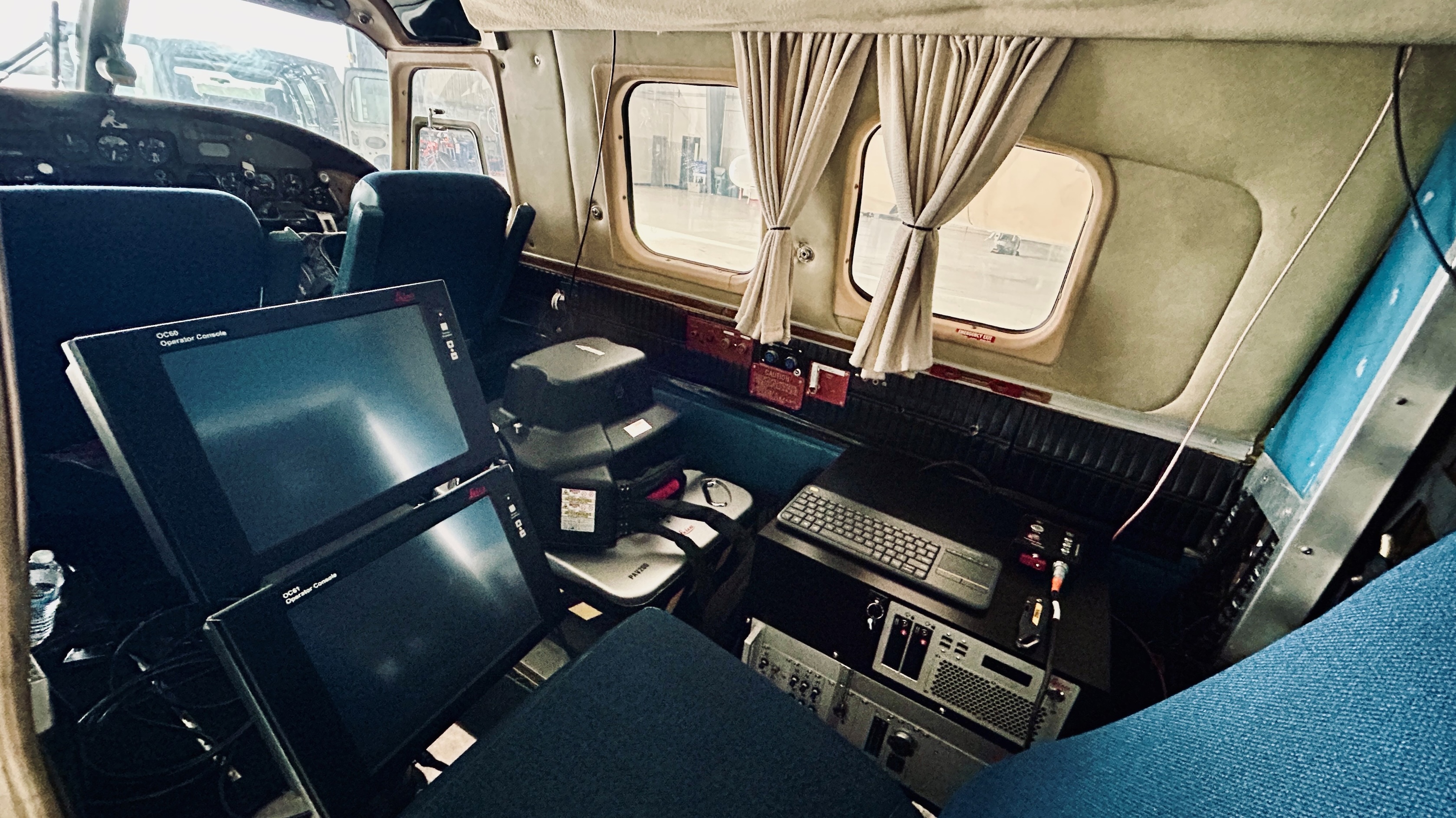
The lidar and its interface inside the aircraft.
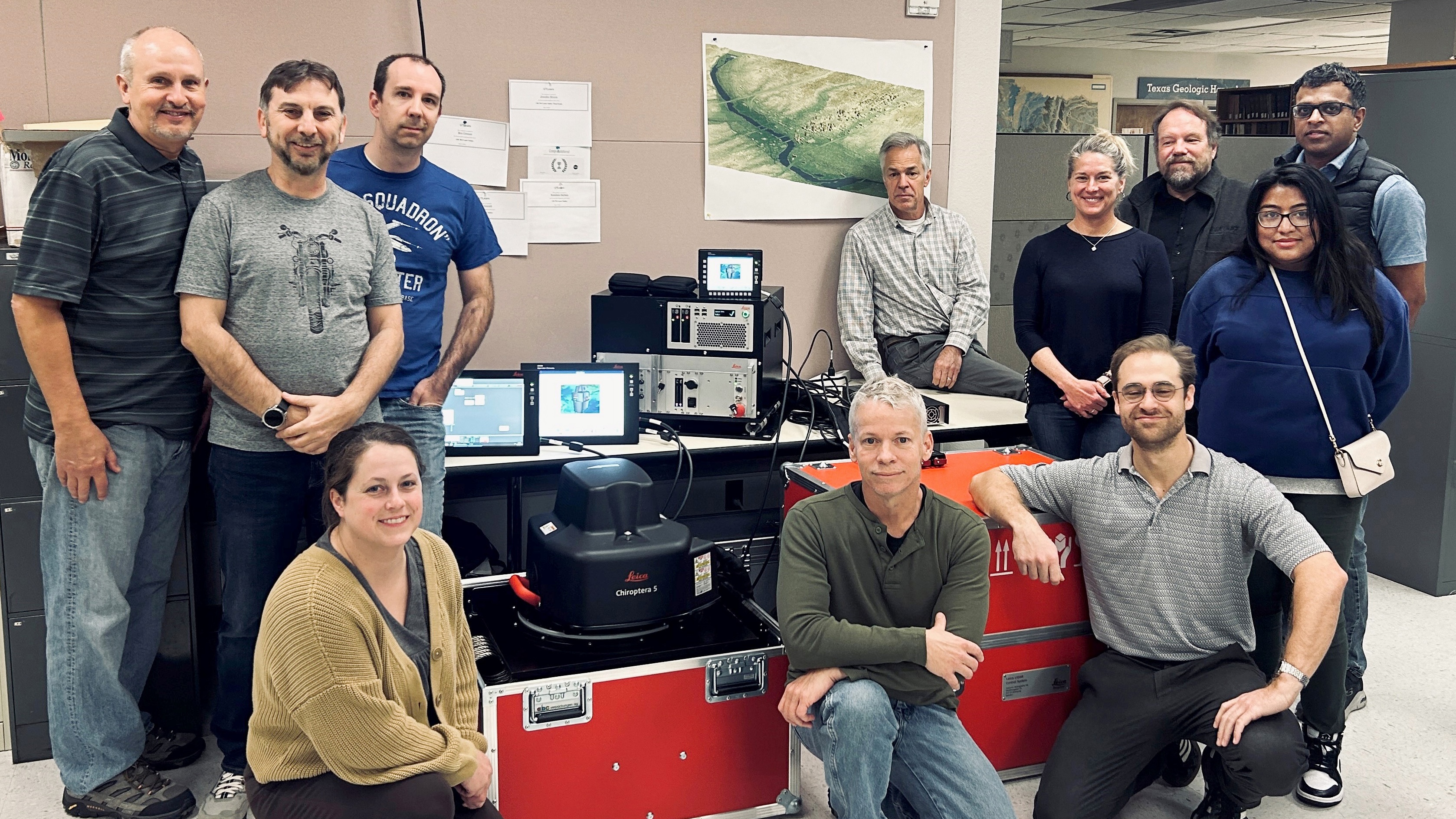
From left to right: Jay Kipper, Kutalmis Saylam, Jennifer Morris, Aaron Averett, John Andrews, Jeffrey Hyatt (Leica), Tiffany Caudle, Ben Grunau, Jeff Paine, Zarrin Tasneem (Leica) and Dushan Arumugam (Leica).

