Developing Groundwater Maps for Arid Regions of Kenya and Ethiopia
Presenter
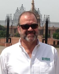
Richard H. Kropp-Emeritus
USGS New Jersey Water Science Center
Lawrenceville, New Jersey
Description
With funding provided by USAID, the U.S. Geological Survey (USGS) and its partners are combining geospatial data from remote sensing with traditional hydrogeological methods to map groundwater resources in two study areas in Kenya and Ethiopia. The primary goals of the project are to locate and quantify the groundwater aquifers in order to support sustainable management of the resource and generate higher success rate when drilling water supply wells, as well training local water resources agency staff and others on the methodology used to develop the maps. The training is designed to allow the agencies to subsequently develop the internal capacity to continue the groundwater mapping in other areas of their countries.
