
BEG conducts airborne lidar survey of Colorado River basin
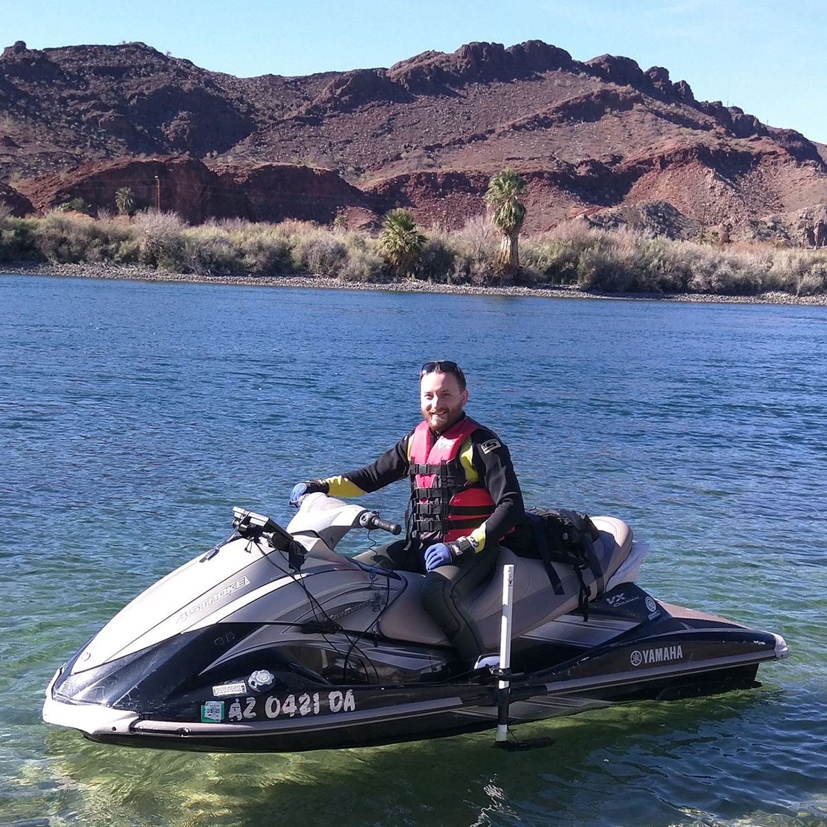
Bureau researcher John Hupp aboard one of the specially fitted survey craft.
In early January, Bureau airborne-imaging researchers conducted a field mission to survey the lower basin of the Colorado River, bordering the states of Arizona and California. The project was sponsored by the Bureau of Reclamation to understand and map the overall geomorphology of the river basin, including the water-bottom surface. The survey area consisted of 120 mi of the river, with varying terrain altitude, water clarity, depth, and flow conditions. Bureau researchers Kutalmis Saylam, John Hupp, and Aaron Averett conducted the field trip with ground-truthing assistance from Surveying and Mapping, Inc., of Austin; airborne flights were contracted out to Aspen Helicopters of Oxnard, California. Approximately 5 terabytes of topographic and bathymetric Lidar data, complemented with high-resolution imagery and sonar data, were acquired. The field trip was scheduled in conjunction with lower water-release rates from the Parker Dam in the upper survey area for shallower and less turbid water conditions. Real-time in situ measurements to understand the water clarity (turbidity) were completed on the site, and dual-beam sonar data were captured to complement and verify the Lidar data measurements in the deeper parts of the riverbed. Preliminary processing results revealed a seamless coverage of riverbed mapped by the Bureau’s airborne Lidar system, even in deeper areas of the river, where sonar readings indicated depths up to 11 to 12 m.
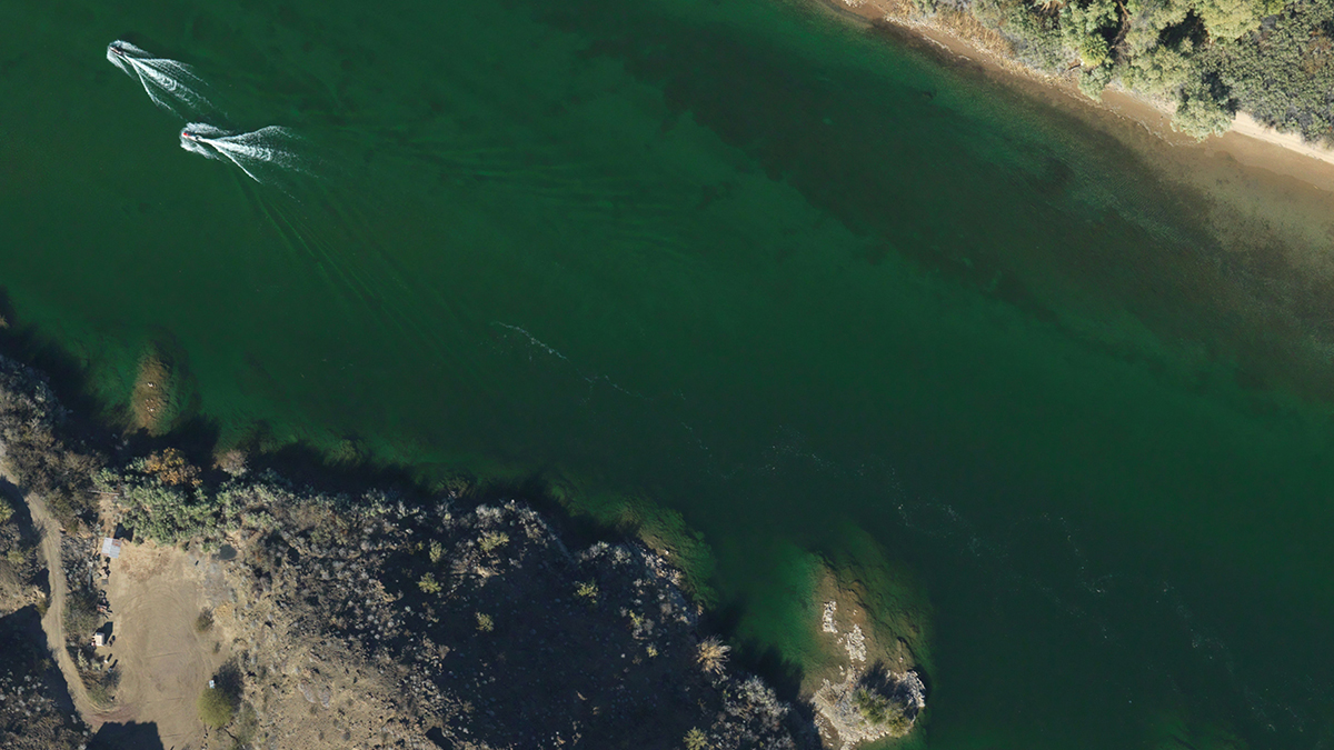
400 meters above the Colorado River, the Bureau's lidar survey plane photographs BEG survey craft acquiring bathymetric and turbidity data.

