
Bureau’s Near Surface Observatory Acquires New Geophysical Instrument
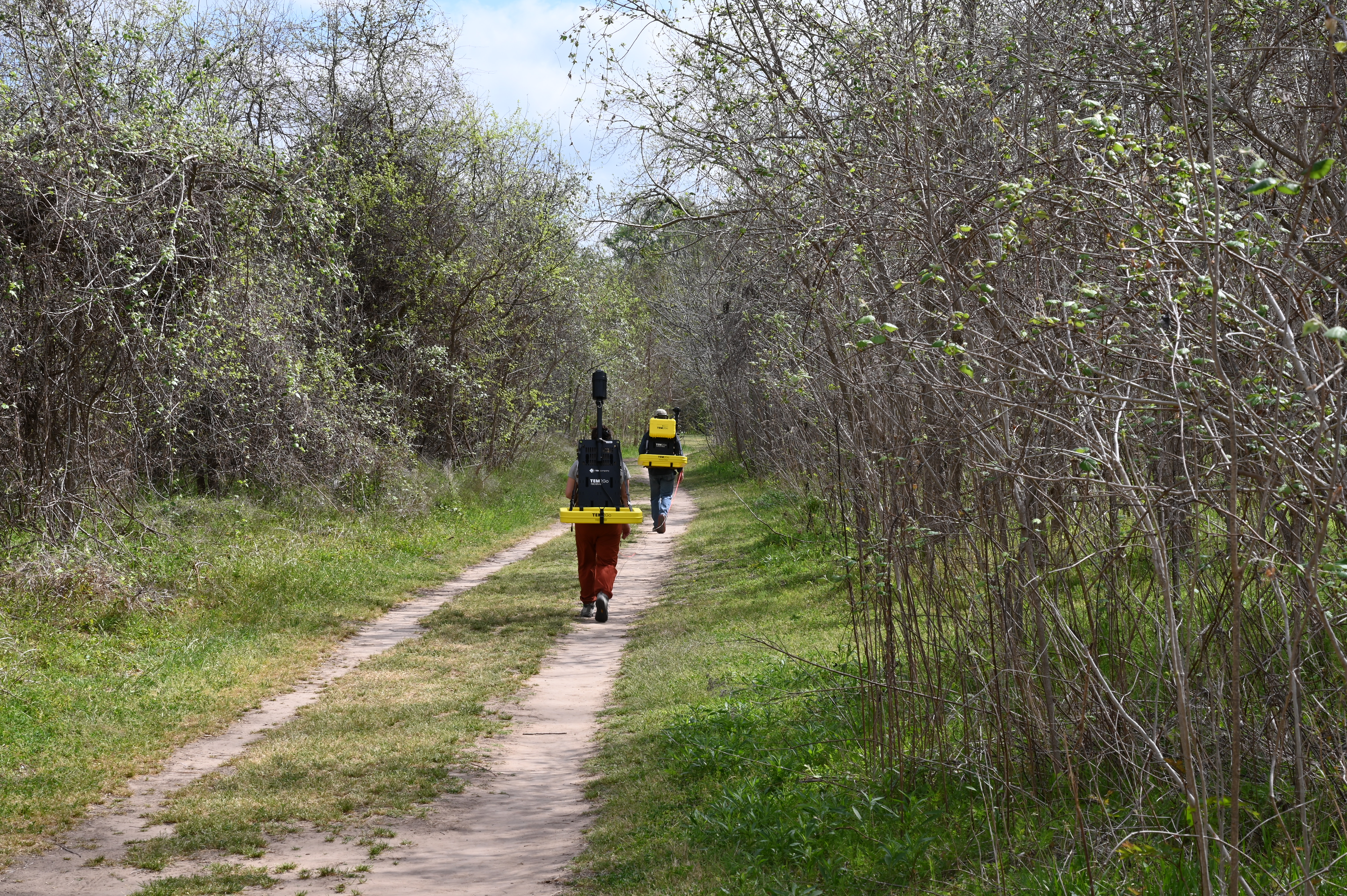
The Near Surface Observatory (NSO) at the Bureau of Economic Geology has added a new geophysical instrument capable of acquiring profiles of the electrical conductivity of the ground from the surface to depths of 50 meters or more. This instrument, called "TEM2Go" by TEMcompany, acquires data using the transient or time-domain electromagnetic induction method (TEM or TDEM), is carried across the landscape by two people with backpacks (Fig. 1), is controlled by an app running on a smartphone or tablet, and displays inverted depth sections in real time.
Researchers at the NSO have long used airborne and ground-based TEM methods to support geologic mapping, groundwater, and soil and water salinization studies, but this is the first TEM instrument at the NSO capable of rapidly acquiring electrical conductivity cross sections while walking over terrain. This instrument, one of the first of its kind worldwide, is already being used to support the cooperative BEG/USGS STATEMAP geologic mapping program, which creates detailed maps of selected areas across Texas, as well as a Texas Water Development Board sponsored study of the Brazos River Alluvium Aquifer in Brazos and Burleson counties, Texas. Similar instruments are beginning to be used to locate critical groundwater resources in areas suffering from humanitarian crises caused by a lack of potable water.
Contact Jeff Paine for more information on potential geoscience applications.

