
Using Satellites to Track Ground Deformation and Geohazards in the Permian Basin
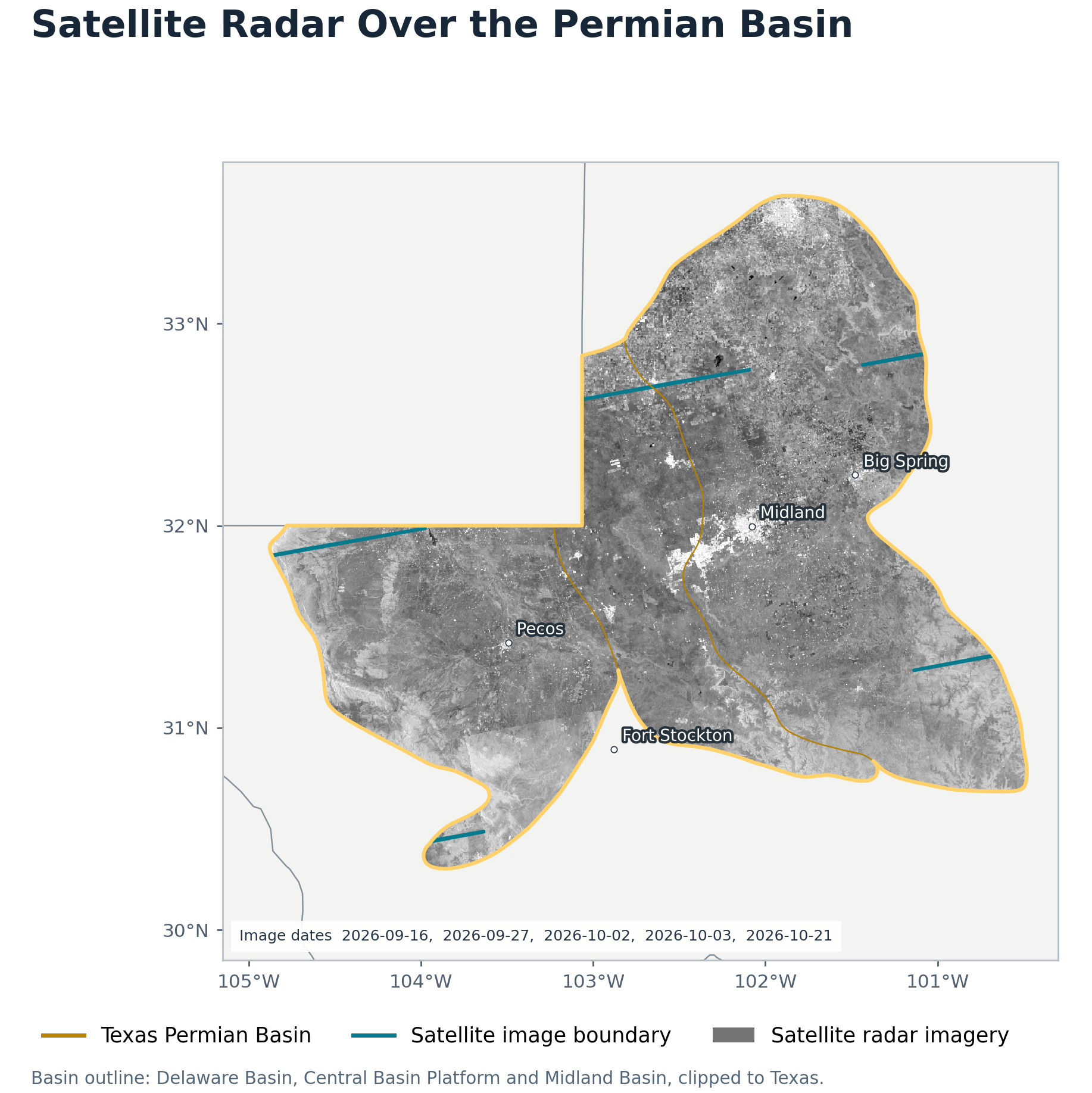
Researchers from TexNet, Texas’ seismic monitoring network, are launching a project to monitor changes in the ground surface across the Permian Basin in West Texas. Supported by the Texas Division of Emergency Management, the project, “Operationalizing Multi-scale InSAR for Geohazard Assessment in the Permian Basin,” will use satellite data to identify areas of increased ground movement that may have an elevated risk of geohazards, including earthquakes.
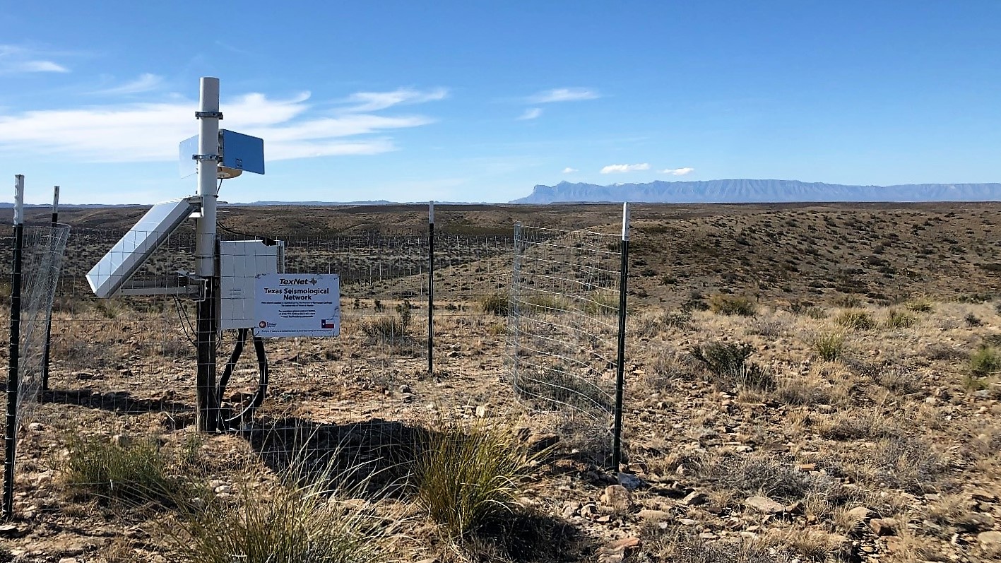
West Texas has the highest rate of seismicity in the state. The project will use InSAR (Interferometric Synthetic Aperture Radar) to build “4D” models that track surface changes through space and time. InSAR uses radar signals from satellites that pass over the region every 6 to 12 days to measure ground surface change at millimeter scale, functioning as a cost-efficient complement to traditional GPS and GNSS (Global Navigational Satellite System) ground stations. The state’s existing GNSS arrays, plus six new stations deployed by TexNet in West Texas to fill coverage gaps, will be used to validate the satellite results.
“Using InSAR data to measure deformation is not new, but here we’re applying it to real-world operational monitoring,” said Dr. Xing Li, a postdoctoral researcher at the Bureau who conceived the project and leads its methodology. “Because we’re focused on just the Permian Basin, we can do more targeted corrections and manual checks on the data than the nationwide maps do, so the results are more reliable and accurate.”
Ground movement has many possible causes, including sinkholes, erosion, fault slip, and changes in the subsurface from oil and gas activity. “Surface deformation is connected to what’s happening in the subsurface, but it doesn’t mean there will be an earthquake,” said Dr. Alexandros Savvaidis, the head of TexNet. “The goal is to make sure that if there are big changes in surface deformation, that information is accessible and can be used for preparedness.”
The team is now developing the algorithms, computing infrastructure, and processing tools needed to handle large volumes of satellite imagery. Within about a year, as part of the two-year project, they plan to release a preliminary public web portal where users can view deformation history and download the underlying data. Monthly reports will highlight major anomalies and offer possible explanations. The data will be useful to emergency managers and government agencies, as well as to researchers and members of the public.
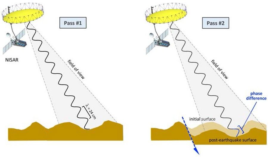
Courtesy of NASA.

