
TexNet to Develop a Texas Early Warning System for Earthquakes
On May 3, 2025, one of the strongest earthquakes recorded in Texas history, with a magnitude of 5.4, shook Culberson County in West Texas. This was not an isolated event. Seismicity exceeding magnitude 2.5 peaked in Texas in 2022 following a rapid increase that began in 2020. Fortunately, active management measures targeting produced water injection in West Texas helped reverse this trend. Nevertheless, seismic activity across the state remains substantially higher than it was prior to 2020. While most of these earthquakes are relatively low magnitude, Texas has experienced several magnitude 5.0 or greater events that have been felt across large portions of the state and have the potential to cause damage.
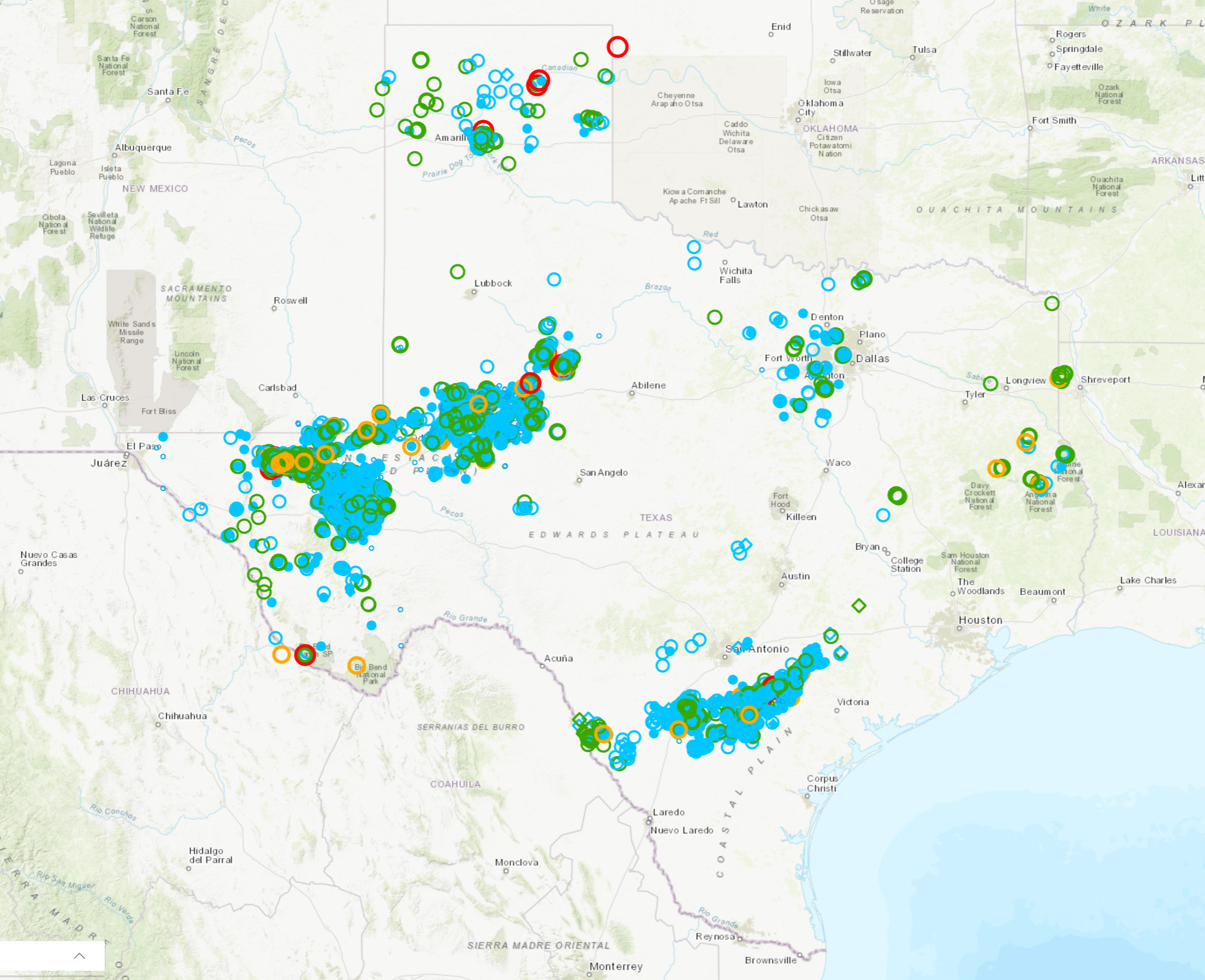
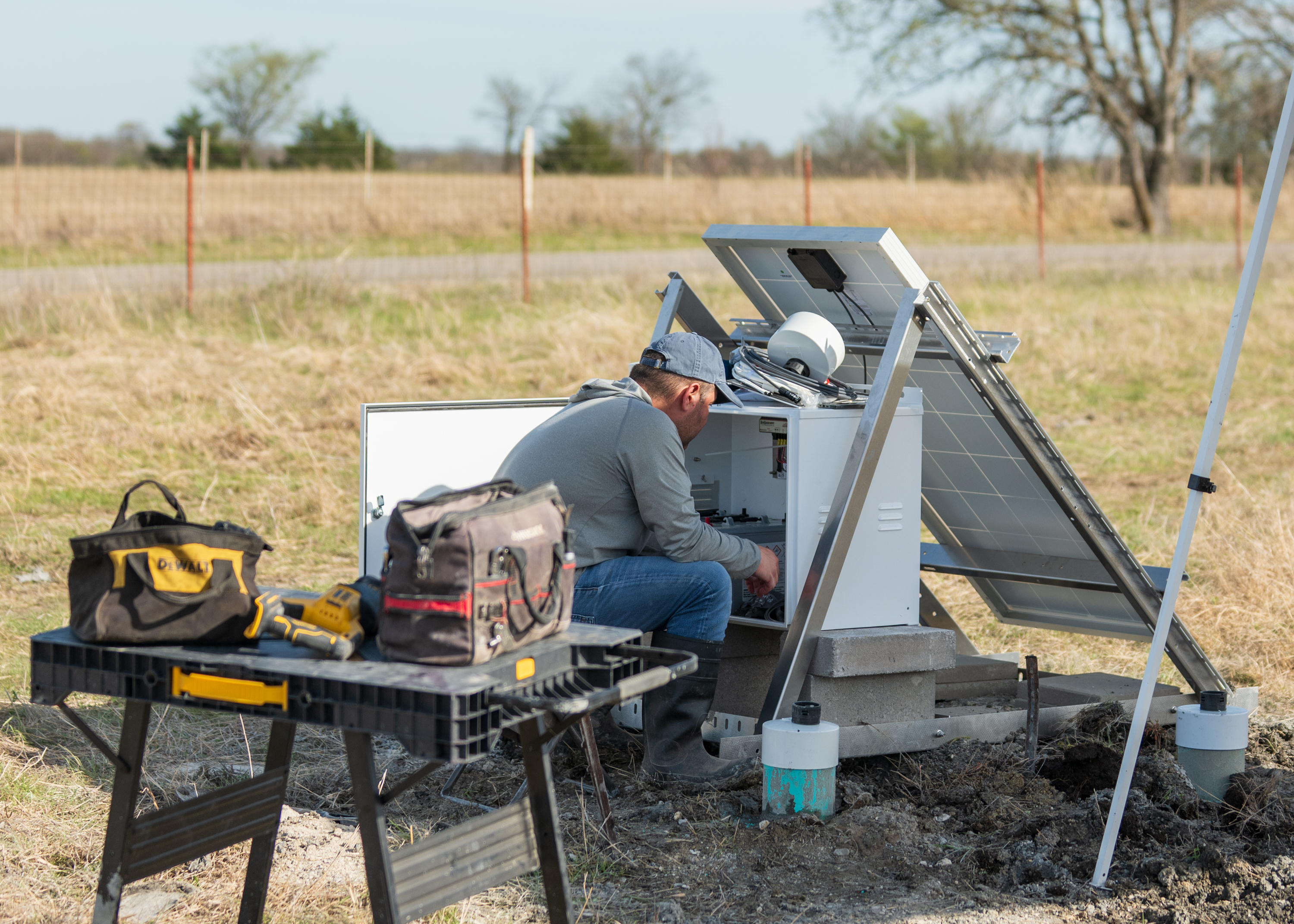
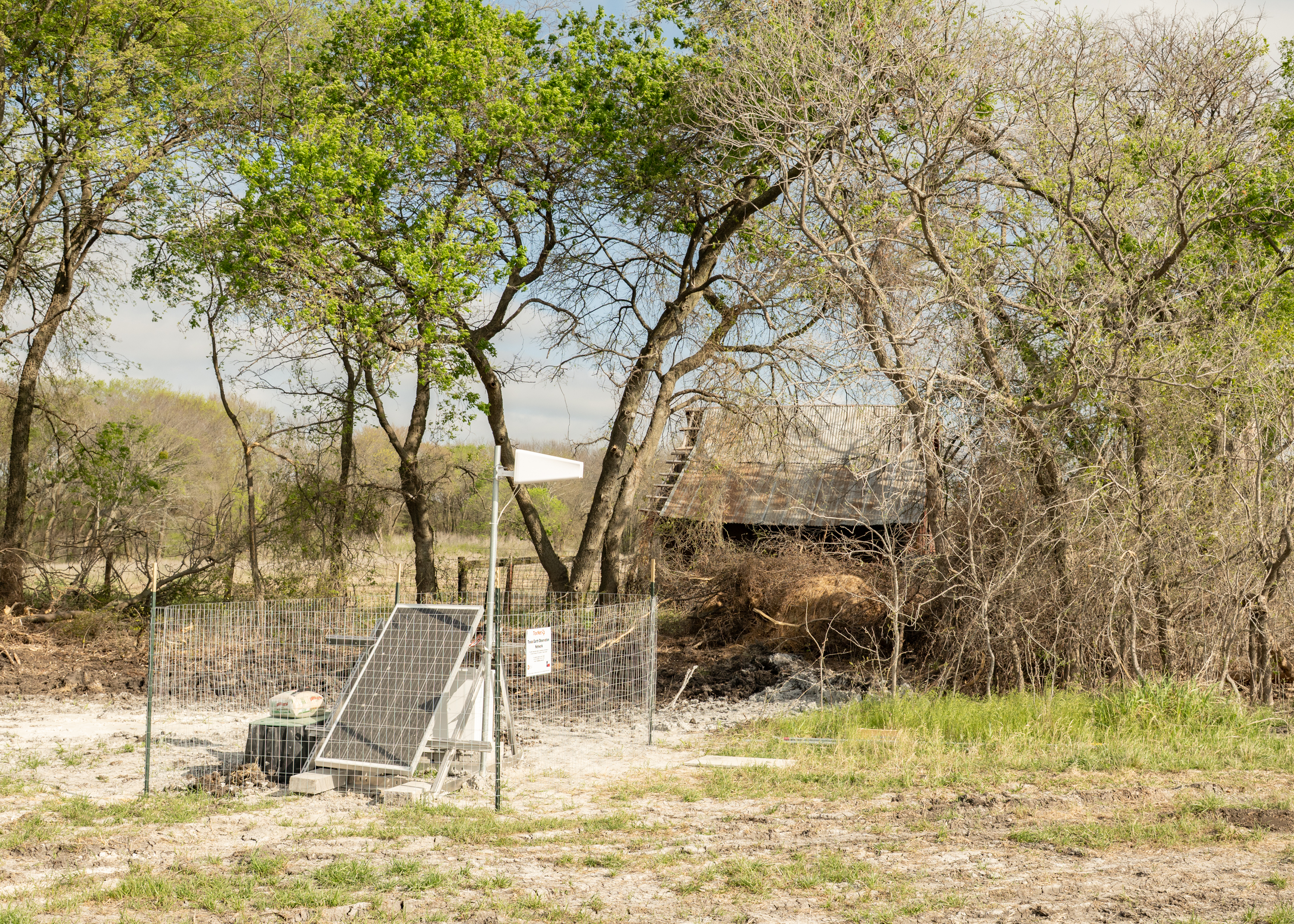
We have this data thanks to TexNet, one of the largest and most advanced regional seismic monitoring networks in the United States. The program, run by the Bureau, provides continuous earthquake monitoring, high-quality seismicity data, and scientific support for researchers, government agencies, industry, and the public.
Right now, in Texas, there is no system in place to warn people that there is an incoming quake, but a forthcoming project led by TexNet aims to change that. With support from the Texas Division of Emergency Management and funding through the Federal Emergency Management Agency, TexNet will begin developing an Earthquake Early Warning and Fast Response System for the state.
Yangkang Chen, the lead on the project, lays it out simply, “If an earthquake happens, we can fully characterize the earthquake in about 10 to 15 seconds—where it is, and how strong it is—and calculate the potential hazards to specific areas. Within another 5 or 10 seconds, we can issue a signal before the real destructive wave—the S-wave—hits the ground, causing damage. Within that very short period—as little as 5 to 10 seconds—people get the warning, similar to other alerts on your phone, and they can take protective action.”
"We always say, ‘with early warnings for earthquakes, every second matters.’ Any extra time for people to take cover, or for a train to come to a stop, for example, has the potential to reduce massive damage," Chen added.
Because so much about what's happening underground remains uncertain, the team is using artificial intelligence to tackle the problem with the necessary speed.
"The subsurface is so complicated, data-driven AI methods offer the opportunity to look at the problem without the constraint or limitation of slower, traditional physics-based approaches," said Chen, highlighting how this evolution of many of the AI tools TexNet already developed makes rapid detection and response possible.
The project begins in September and will develop a prototype for the system that could benefit the tens of thousands of Texans living in areas with higher earthquake risks.

