
Studying the Permian Basin’s Eastern Shelf
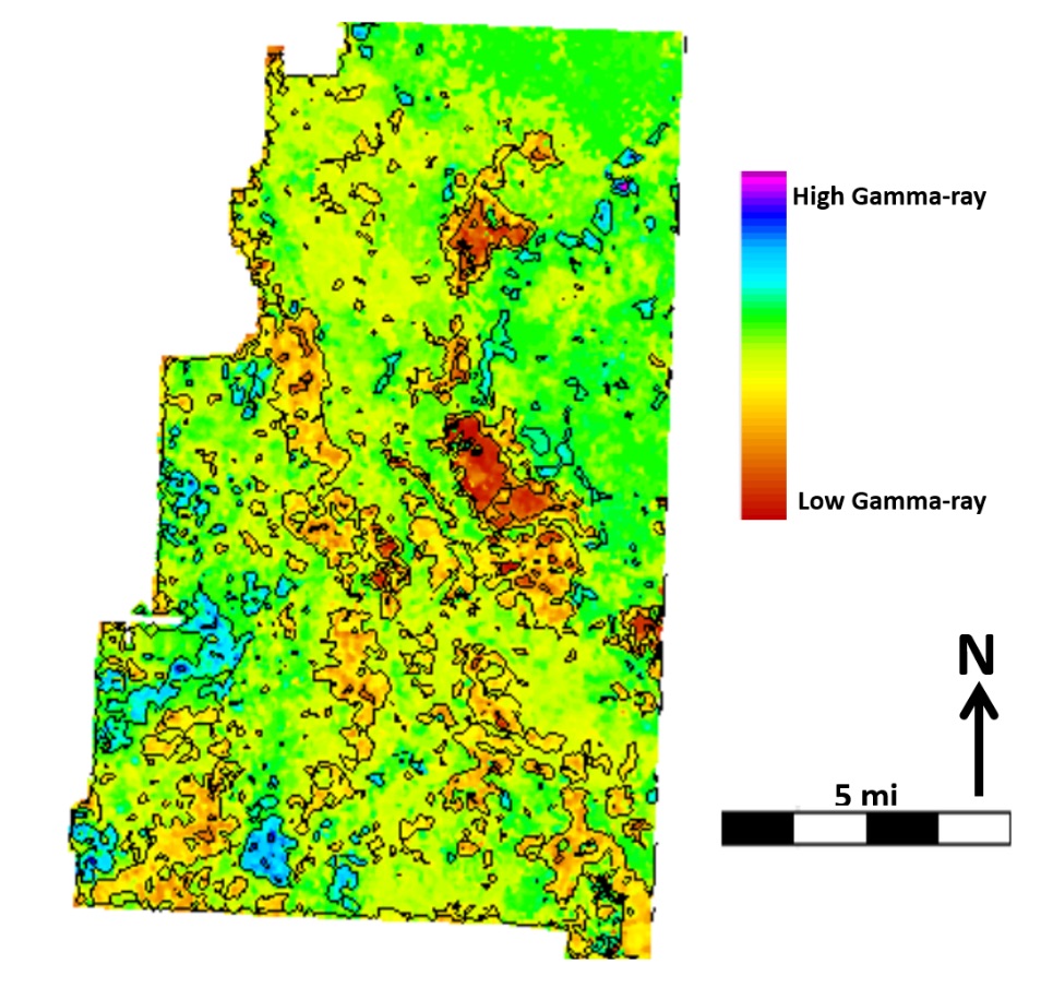
A gamma-ray map from the Eastern Shelf showing lateral distribution of lithology.
Osareni “Chris” Ogiesoba is investigating the sedimentary basins of the Eastern Shelf separating the Fort Worth and Permian Basins in central Texas. These basins formed during the Ouachita Mountain building process, some 360 to 320 million years ago. During this period, the Permian Basin became separated into the Delaware and Midland Basins by the Central Basin Platform. Between 320 and 286 million years ago, the basins became filled with different types of sedimentary rocks ranging from shale to sandstone to limestone. These rocks host more than 100 billion barrels of oil, but they have been complexly deformed by tectonic activity over time. We must understand the spatial distribution of the rock types before we can extract the oil.
As a research geophysicist with the State of Texas Advanced Resources Recovery (STARR) program at the Bureau of Economic Geology, Chris is interested in identifying oil and gas deposits within these basins. To accomplish this, he uses neural networks—or sets of algorithms designed to identify patterns much like our own brains do—combined with 3D seismic and wellbore data. Together, these tools can determine the distribution of rock properties such as impedance, gamma-ray, and density, which help reveal the locations of oil deposits within the basin.

