
Integrating Applied Hydrologic Research and the Education of Future Water Leaders in Texas
Over the past year, the Jackson School of Geosciences began a program to support student-powered hydrologic and water resource research. The program was funded by a generous gift from an anonymous donor.
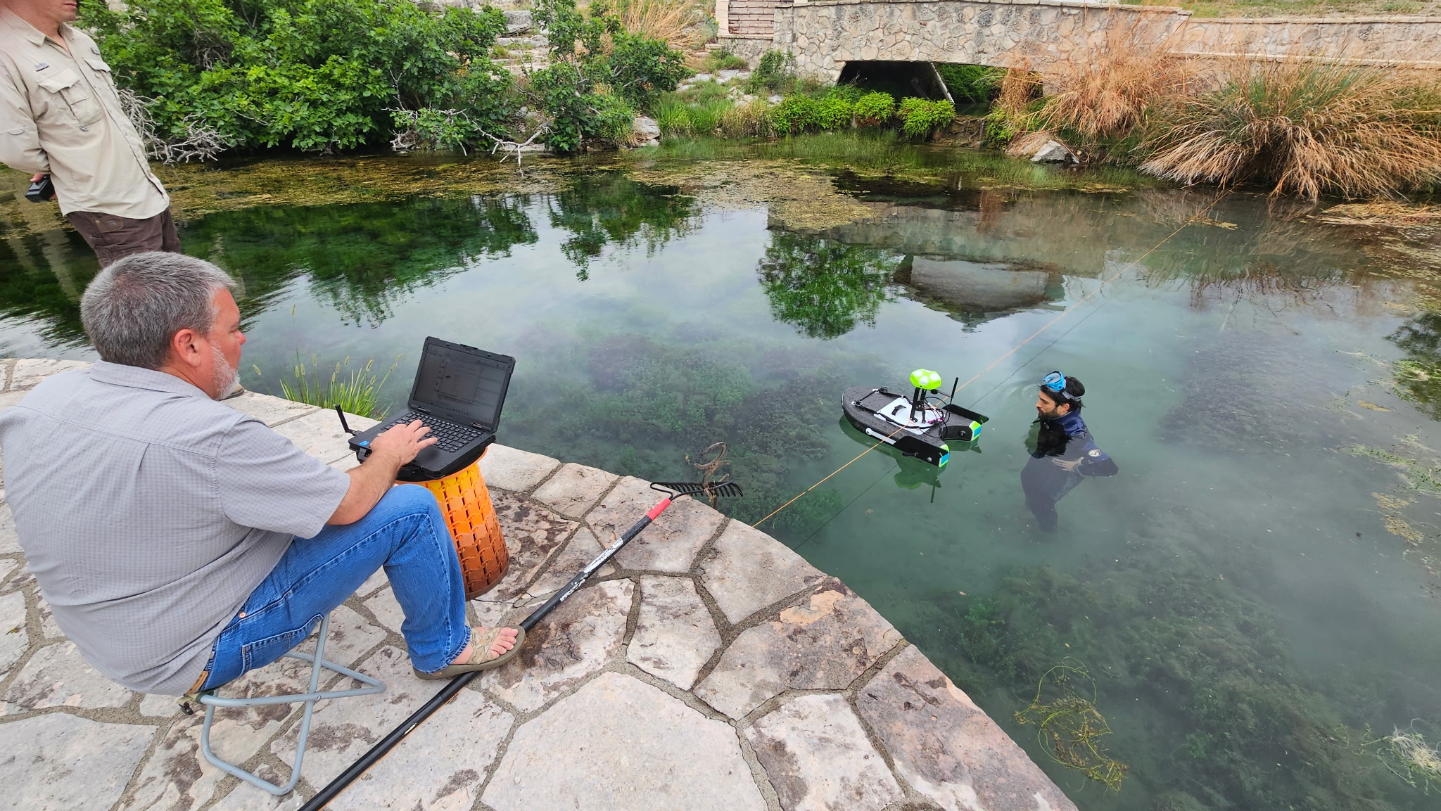
Marcus Gary at the Bureau of Economic Geology is leading this effort to engage UT students by integrating them into active research and conducting pilot projects that develop future studies at the Bureau and UT’s Jackson School of Geosciences (JSG). He also teaches two field hydrologic courses at UT Austin (Field Methods in Hydrogeology and Applied Karst Hydrogeology). Gary’s philosophy connects the students directly into studies through class projects, capstone and honors theses, and research performed collaboratively with state and regional water agencies. Over the past year, a number of projects and activities have furthered this initiative, including research on the Devils River, an aquifer testing course, fieldwork on the Guadalupe River, dye tracing at Hamilton Pool, and spring flow studies on the Pecos River.
Devil's River Research
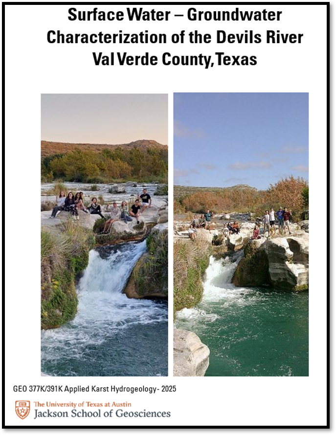
In the 2025 fall semester, the Applied Karst Hydrogeology class contributed to a Bureau study funded by the Texas Water Development Board (TWDB). This study investigated the surface water–groundwater interactions along the spring-fed reaches of the Devils River, Texas’ most pristine river system. Two groups of students performed spring flow measurements, sampled spring and river water, and collected other supporting hydrological data for the project. The students even sampled a spring that had not been sampled since the U.S. Geological Survey visited it in 1939, expanding the geochemical and isotopic record of the spring in the TWDB database. The students’ results are compiled in their class report, which will soon be available on the JSG Texas Hydro Hub website.
Aquifer Testing Course
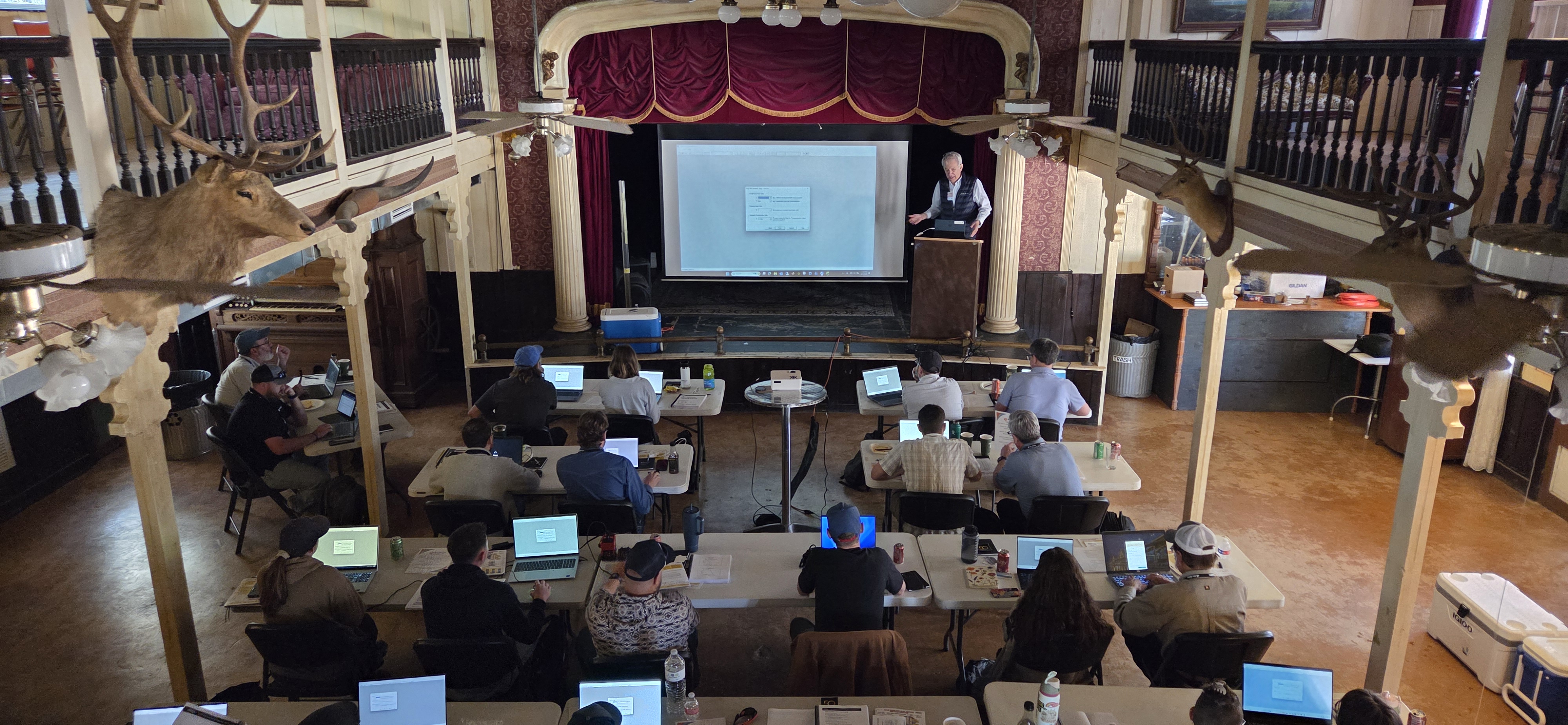
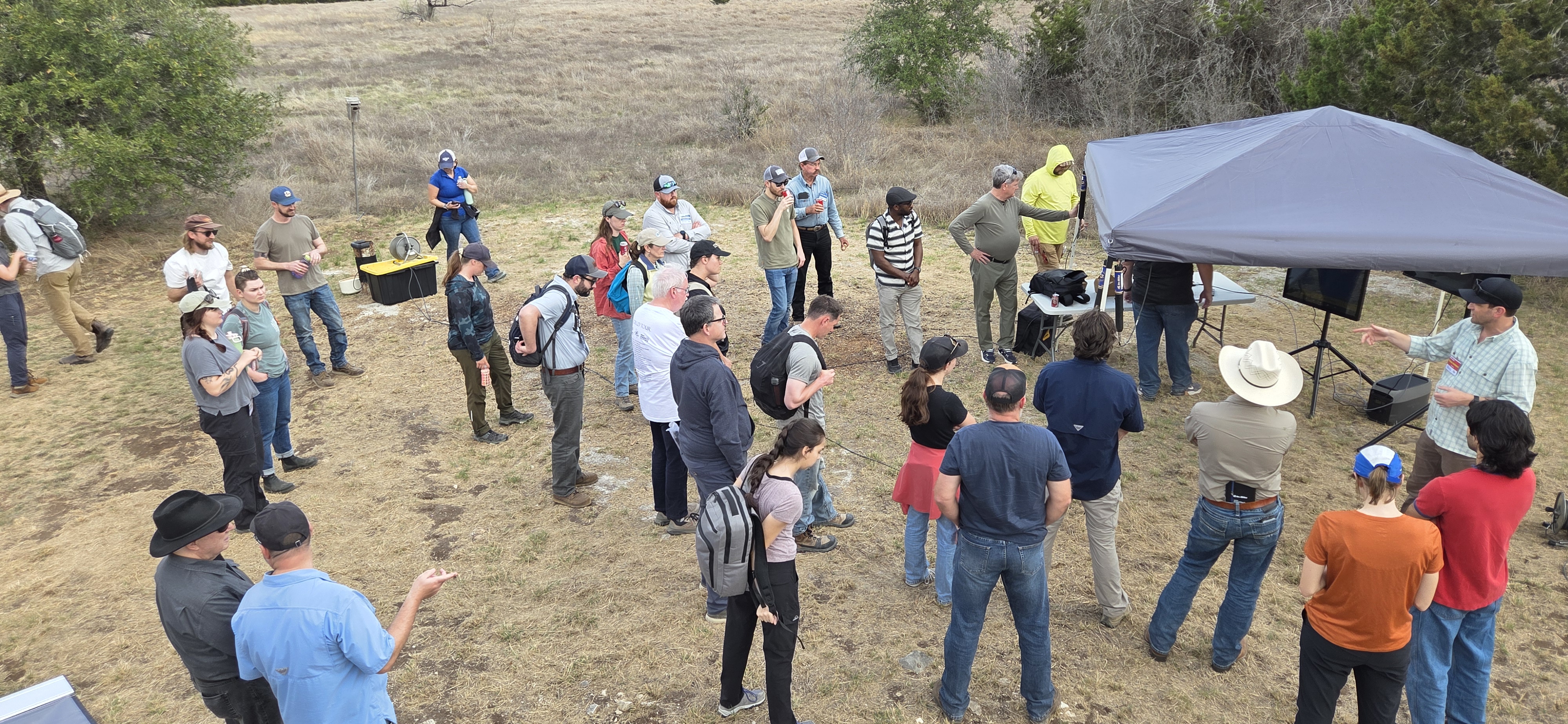
In March 2026, UT students, groundwater conservation districts, and groundwater professionals across the State of Texas attended an aquifer testing course cosponsored by the Bureau, the Hays Trinity Groundwater Conservation District, and an industry manufacturer of instruments.
Guadalupe River Trinity Aquifer Studies
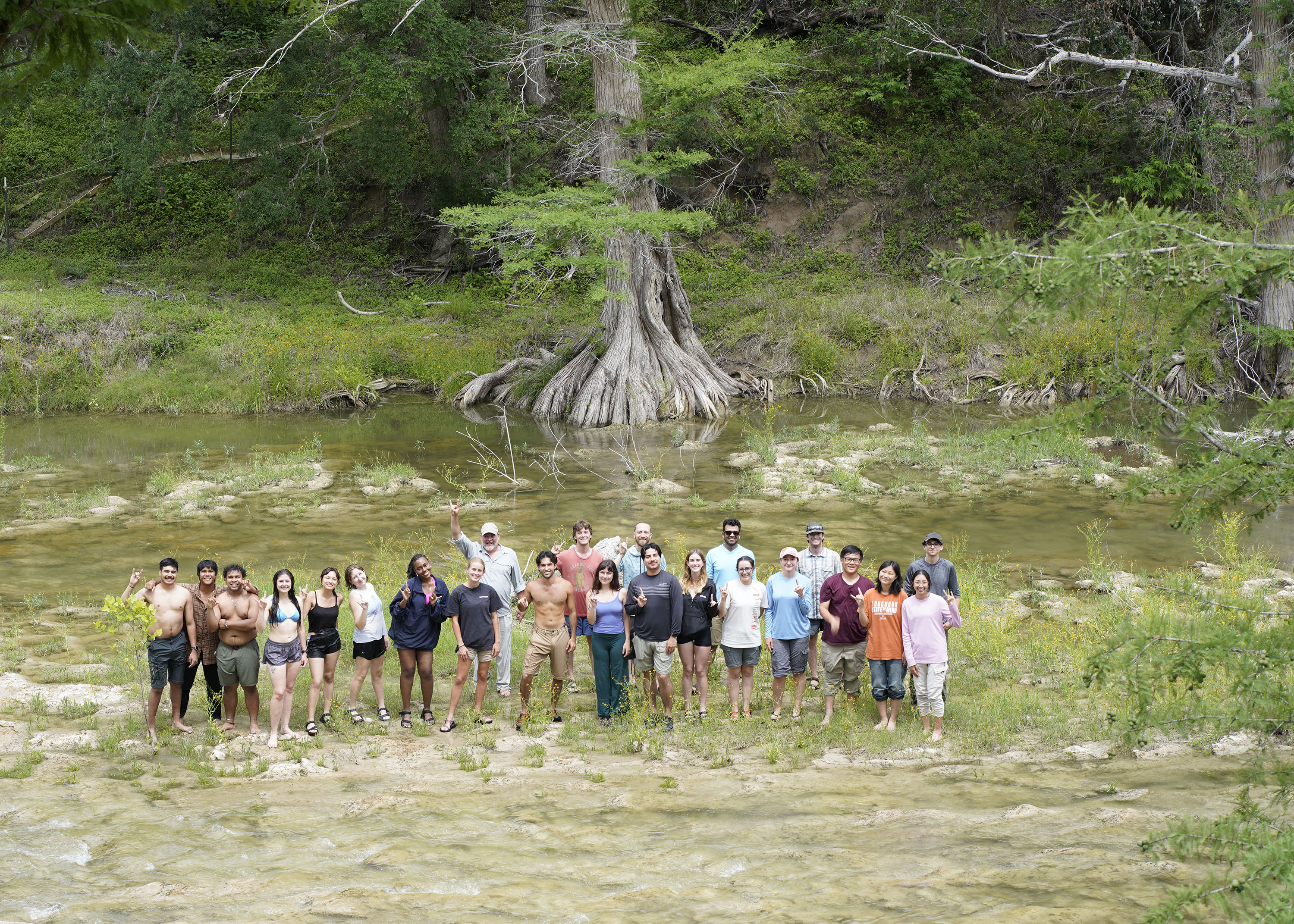
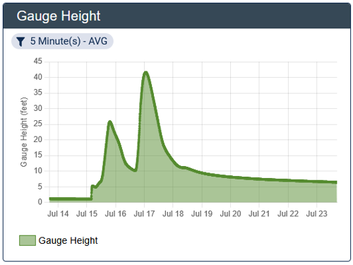
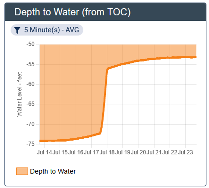
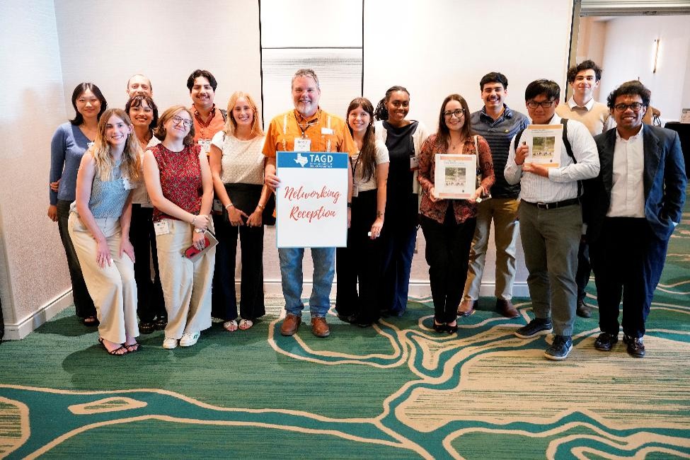
The 2026 Field Methods in Hydrogeology (also known as “Hydro Field Camp”) class conducted detailed studies on the Guadalupe River in western Comal County. The investigation is the start of a State-funded project that measures the contribution of recharge the river provides to the Trinity Aquifer. The project is a partnership between the Bureau and the Comal Trinity Groundwater Conservation District. During this class of Hydro Field Camp, students helped install the instruments that captured the flood event seen in the charts below. In June, just two days after finishing Hydro Field Camp, most of the class attended a meeting of the Texas Alliance of Groundwater Districts and presented the results of their study, including hydrogeophysics, groundwater level mapping, recharge measurements, and geochemistry to over 100 professionals and agencies who attended the meeting. Afterward, the students attended the meeting’s social networking happy hour with their freshly completed report and started building contacts for the future.
Dye Trace Test at Hamilton Pool
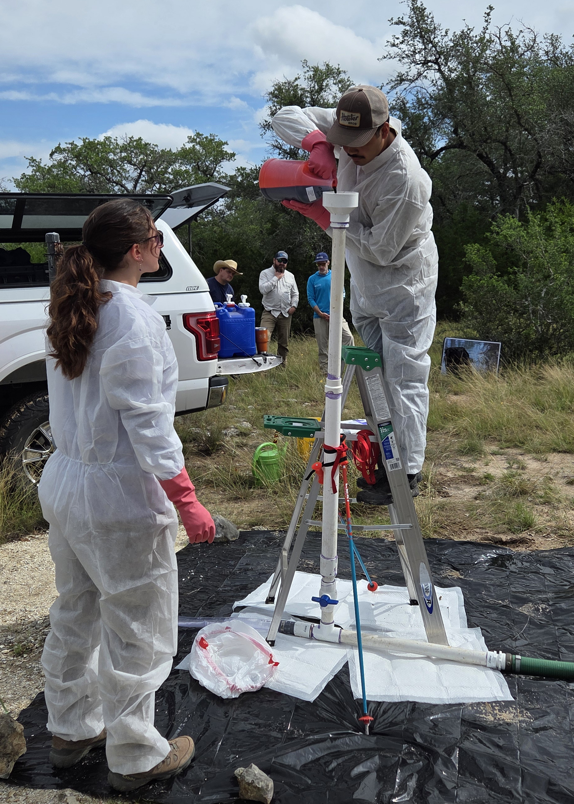
The 2026 Hydro Field Camp students also assisted with a dye trace test at Hamilton Pool in May 2026. This project was conducted in collaboration with Travis County Natural Resources and Travis County Parks as part of a long-term hydrogeology support role the Bureau has with Travis County. The class conducted the dye injection and measured spring flows and geochemistry of the aquifer that feeds Hamilton Pool.
Pecos River Research in Fall 2026
During the fall 2026 semester, Gary’s Applied Karst Hydrogeology class will undertake a number of projects, one of which is characterizing spring flow contributions to the Pecos River in West Texas. This project will be conducted as a collaborative effort with Southwest Research Institute, The Nature Conservancy (TNC) of Texas, TWDB, and Texas Parks and Wildlife. The project will be based out of the TNC preserve at Independence Creek, where Caroline Springs supplies flow to the creek and the Pecos River.
Engage with Bureau Hydrology Research
To learn more about the Bureau’s applied hydrology program, please contact Marcus Gary.

