
Orientation
GOING TO THE STUDY SITES
On the day of the trip you should make a quick check to ensure that everything is taken from the staging area and is loaded in the vehicle. Drive to the study site, and park safely and well off the side of the road. Stay on the side of the vehicle away from the road. Find the datum point using the GPS receiver and compass or earlier placed markings. Place a flag at the datum point so that it is visible above the grass.
INITIAL SITE RECONNAISANCE
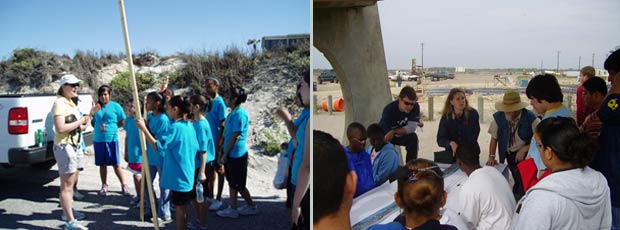
When you first arrive at your monitoring site listen for directions from your instructor and teacher. They may give you specific safety instructions about your monitoring site, such as watching for vehicles driving on the beach, pointing out sensitive vegetation on the dunes, or being aware of dune and back barrier inhabitants such as snakes and fire ants. They may also provide background information about your monitoring site, for instance, a specific problem you are monitoring or trends that have been observed. Most importantly they will remind you to bring the monitoring equipment with you.
Sometimes we get so involved in making our measurements that we fail to use our qualitative power of observation. Taking time to walk the beach without the worry of having to take an accurate measurement will help you interpret the quantitative data you collect.
Before you start measurements take about 15 minutes to walk the profile and observe the condition of the beach. Identify the prominent features of the profile, including the foredune, vegetation line, wet/dry line, berm crests, and cusps. Do a little beachcombing and see whether any prominent or unusual items such as dead fish or seaweed are on the beach. Note how the beach has changed since your last visit. Does it appear to have eroded or accreted? Have there been human alterations?


.png)

