Environmental
Studies in Belize
Bureau researchers
have worked with professionals from the Belizian
Ministry of the Environment and Natural Resources since 1996,
studying deforestation, land cover, and land use. Landsat Thematic Mapper
imagery, satellite data, and field studies were employed to evaluate
the success of the government’s efforts to limit deforestation
and to evaluate land use for better management of protected areas. Research
results were then presented in public workshops in Belize and in workshops
for Belize scientists at UT.
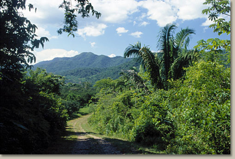
Typical
forest cover in highlands of Belize.
Current NASA-sponsored
Research
The Bureau, together with the Center
for Space Research, is currently involved in a NASA-funded project
to once again obtain data for use in analyzing land cover/land use and
rates of deforestation in Central Belize. The work will be conducted
in cooperation with the Land Information Centre and Forest Department,
Belize Ministry of Natural Resources and the Environment. New imaging
systems will be employed to collect data; these data will be compared
and contrasted with data acquired during previous Bureau studies. Research
methodologies and findings will be presented in a workshop for Belize
government officials. Bureau scientists involved in this research include
Jay
A. Raney, Thomas
A. Tremblay, and William
A. White. Researchers from the Center
for Space Research include Melba
A. Crawford and Solar
S. Smith.
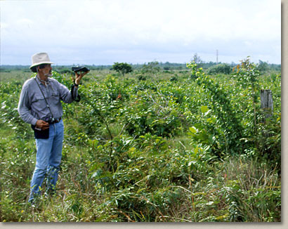
Bureau
researcher William A. White takes a GPS measurement in Central Belize.
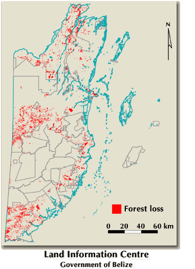
Location
of loss in forest and woodland cover on mainland Belize from 1989/92
to 1994.
