|
The high-resolution
digital terrain models are draped with conventional photographs
and corendered with attributes such as weathering profile (shape),
laser intensity (reflectivity), and multispectral data, producing
greatly enhanced data set for examination.
Recent work
combined conventional field study methods and tools with laser-generated
imagery to create 3-D representations of several outcrops from around
the world. In several cases the digital scans were manipulated to
provide an elevated vantage point that allows geologists to site
down bedding. This approach reveals bed and bed-set architecture
that was not readily apparent from a ground perspective. Current
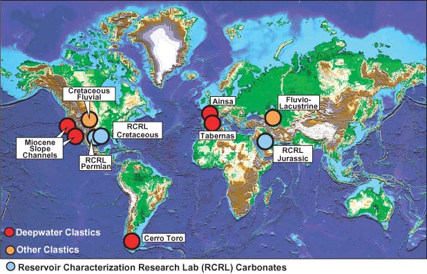
work is focusing on the channelized slope deposits of the Solitary
Channel from the Tabernas Basin, Spain. The laser scans provide
a 3-D digital framework from which lithofacies and time-significant
surfaces (high-frequency sequence boundaries and abandonment surfaces)
are better correlated along the 2-km outcrop belt. In addition,
a series of faults disrupt stratigraphic continuity of the channel
fill, and digital removal of faults simplifies oft-debated stratigraphic
relationships. In addition, laser intensity data are integrated
with outcrop weathering patterns and RGB values from digital photographs
to produce a classification scheme that distinguishes mudstones
from sandstones and even discriminates between sandstones of varying
lithic-grain content. All of these data are used to generate a cellular-based
geological model in GOCAD of this renowned slope-channel reservoir
analog.
|