
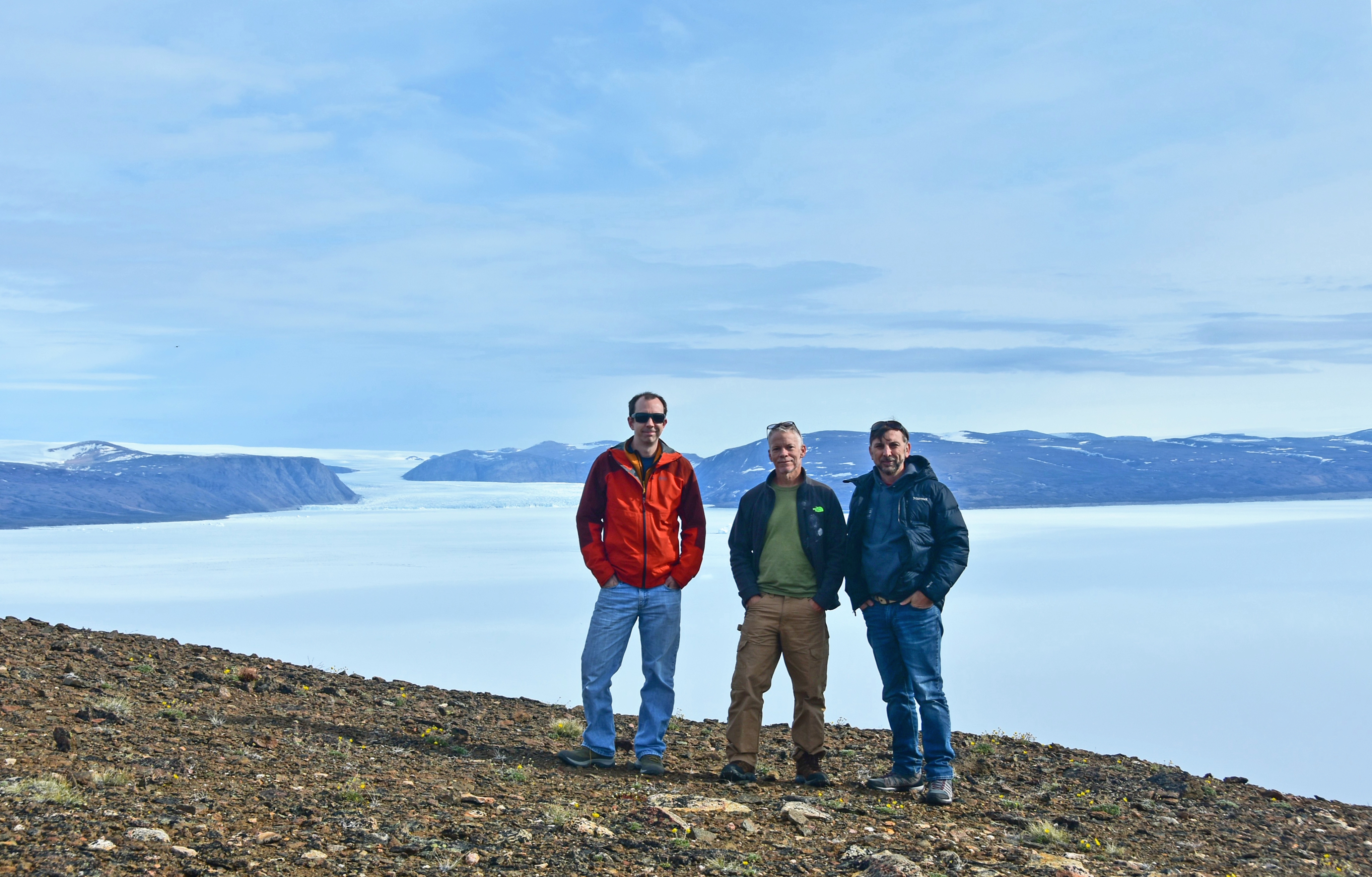
Aaron Averett, John Andrews, and Kutalmis Saylam (left to right) in Greenland.
PITUFFIK, Greenland—Bureau of Economic Geology researchers Kutalmis Saylam, Aaron Averett, and John Andrews are currently in northwestern Greenland conducting research using an airborne lidar system. The project, “Airborne lidar surveys to quantify Greenland Arctic summer sea ice heights and bathymetry of cryospheric melt ponds,” is sponsored by NASA and will help to determine the thickness of sea ice during warmer summer months.
The NASA satellite ICESat-2, launched in September 2018, uses a green-wavelength beam to measure the thickness of sea ice from orbit; however, it is difficult to detect the size and depth of shallow melt ponds that appear on the sea ice every summer. Using NASA’s Gulfstream V research aircraft, NASA and the Bureau are using state-of-the-art airborne laser altimeters to confirm the satellite measurements and to help improve algorithms predicting sea ice thickness and melt pond depths in the upcoming years.
Alongside NASA’s Land, Vegetation, and Ice Sensor (LVIS) high-altitude lidar system, Bureau researchers are using a Leica Chiroptera 4X airborne lidar system at lower altitudes. The Chiroptera 4X emits beams from two channels: a near-infrared wavelength that can detect hard surfaces and the water’s surface, and a green wavelength that penetrates into the water column to measure depth. The Chiroptera’s lidar sensors are coupled with a high-resolution, four-band camera that captures the details of target surfaces simultaneously with lidar data acquisition.
For more information about the Bureau of Economic Geology’s lidar capability, please contact Jeff Paine.
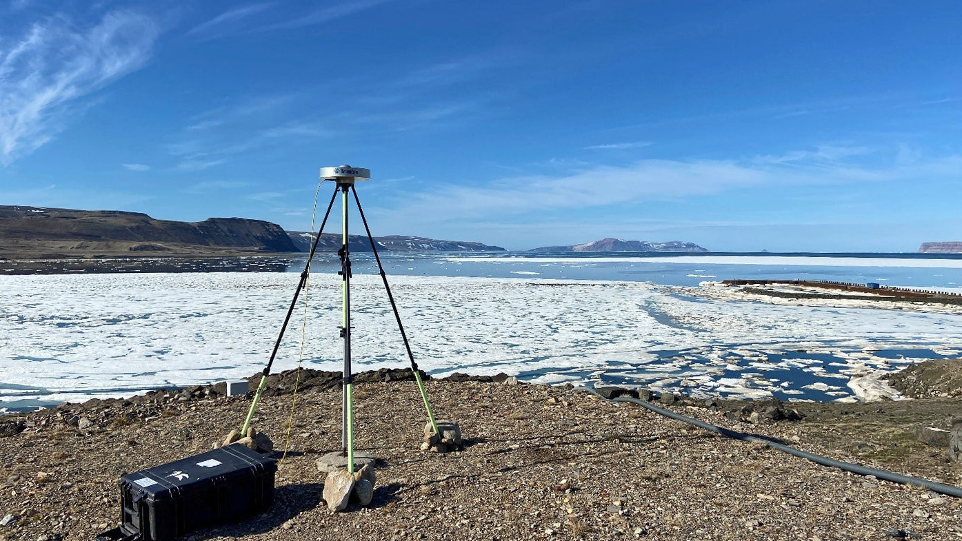
A GPS base station set up by Bureau researchers.

